
Mayflower Leiden: where the Pilgrims lived, married and had children
General placeAlso appears in a family's story
Click a number, on the map or on a place below, to jump to the other.
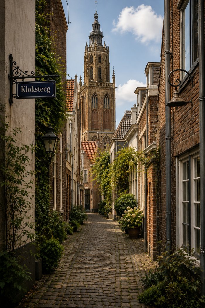
The city behind the records
Community and city life
Why this city, and why it eventually wasn’t enough
Leiden's population roughly tripled in this period, from around 15,000 residents in the late sixteenth century to around 45,000 by the 1620s, driven largely by the city's booming textile industry. That growth, and a Dutch tradition of religious tolerance unmatched elsewhere in Europe, are part of why an English Separatist congregation could settle, worship and eventually take up citizenship here when it could not in England. [dutchreview.com]
University, guilds and daily trade
John Robinson, the congregation's pastor, matriculated at Leiden University around 1615, an unusual position for a Separatist minister and one that gave him standing to take part in the university's public theological disputes, including the Arminian controversy that was dividing the city. Textile work was the most common livelihood among the English families, alongside a scattering of guild-registered trades. William Bradford described the years of settling in as hard: the congregation, in his own words, “fell to such trades and employments as they best could,” eventually reaching “a competent and comfortable living, but with hard and continual labor.” [pilgrimhall.org]
The Pilgrim Press
Between 1617 and 1619, William Brewster ran a printing operation in Leiden now known as the Pilgrim Press, working with Edward Winslow and John Reynolds and backed financially by fellow exile Thomas Brewer. The press printed nonconformist religious texts banned in England, including works by David Calderwood attacking King James I, marked with a small bear device that gives the imprints their nickname; the books had to be smuggled across the North Sea. In 1619 the English ambassador to the Dutch Republic pressed for Brewster's arrest, his press and type were seized, and he went into hiding. No press of his ever reached Plymouth. [pilgrimhall.org]
Why the congregation eventually left
By the end of the 1610s, several pressures were building at once. Many in the congregation, in Bradford's words, “could not endure that great labour and hard fare,” and grew old or worn down before their time; others worried that their children, growing up speaking Dutch and marrying into Dutch families, were losing the English identity the congregation had crossed the sea to protect. The city's own religious politics added a further layer of instability: in April 1619, a crowd gathered outside James Chilton's house after rumours spread that Arminians were meeting there, and when he tried to send them away, one of them struck him with a thrown brick — a dispute documented on this site's Chilton family page. Overhanging all of this was the Twelve Years' Truce between the Dutch Republic and Spain, due to expire in 1621 with the renewed threat of war. Together, these pressures are part of why a congregation that had built more than a decade of settled life in Leiden chose to risk a voyage to America instead of staying. [pilgrimhall.org]
Alphabetical register
Spellings are regularised for navigation; historic forms remain visible below each name.
AchtergrachtcanalShow detailsHide details
4 records
Spellings in the recordsAchtergracht · Achtergraft · Achtergrafte · achtergraft · achtergrafte
About this place
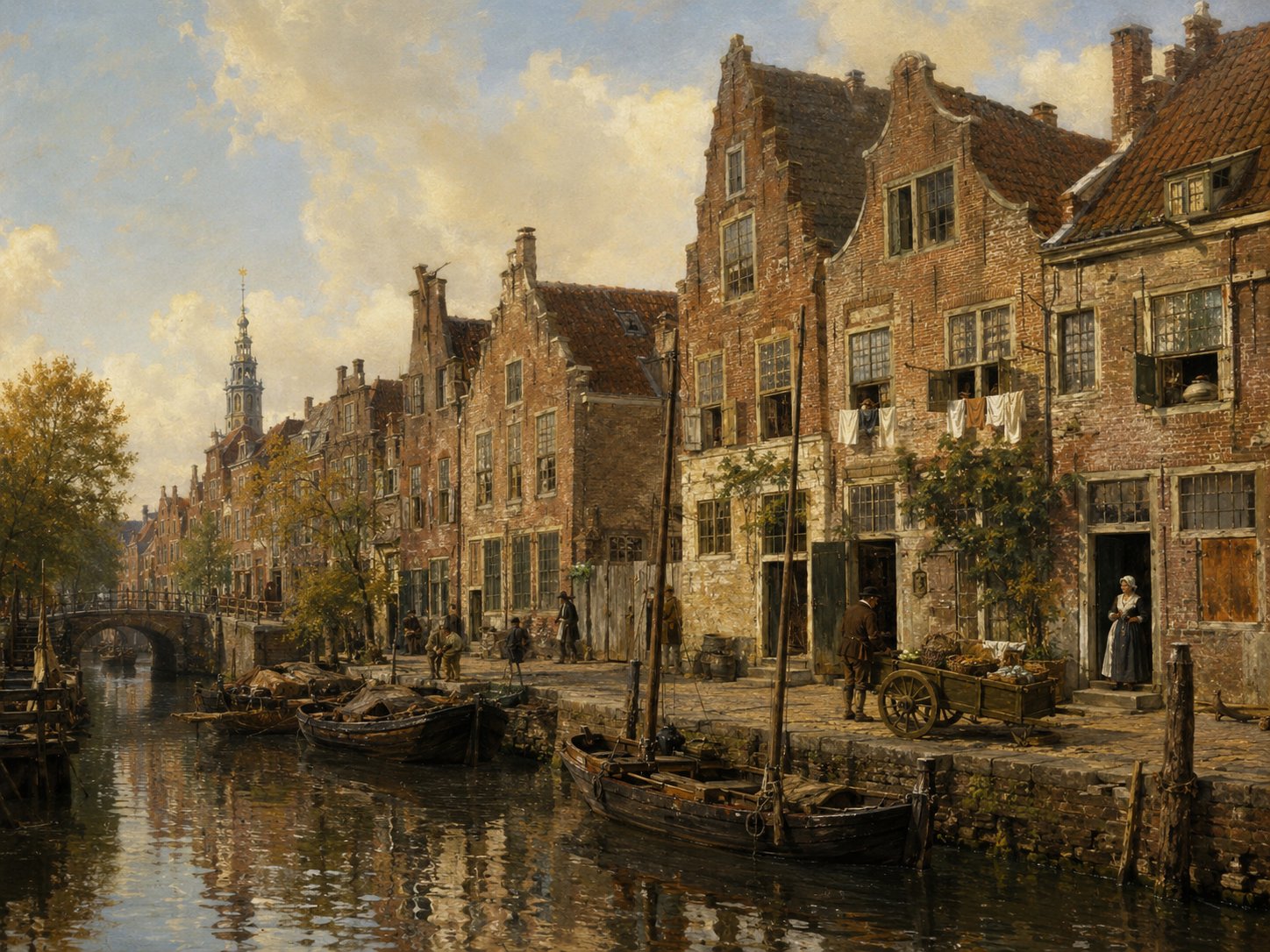
The Achtergracht was a minor canal in Leiden's Marendorp quarter, one of the districts that grew up as the medieval town expanded, traditionally dated to around the mid-fourteenth century. Its name, common to many Dutch towns, simply means ‘rear canal’, distinguishing it from a more prominent parallel waterway nearby. By the early seventeenth century it was lined with newly built houses, as several surviving property deeds record. Source: municipal Leiden Binnenstad II heritage document
Open 4 archive records
Witness statement by Lawrence Colson, about 38 years old, serge weaver, living in the Katalijneveststeeg in Leiden, and Bartholomew Smith, about 29 years old, fustian weaver, living in the Kathalijneveststeeg in Leiden, made at the request of David de Kneeck, serge weaver in Leiden, concerning an accusation of perjury and defamation of character.
View the official recordOn 2 March 1612 Laurys van Dale, mason, transfers to William Bradford, Englishman, a newly-built house and ground on the north side of the Achtergracht running along Marendorp between the Paradijssteeg and the Bouwenlouwensteeg in Leiden.
View the official recordTransfer of title by William Bradford, serge wever, to Jan des Obrys, skinner, of a house on the northern side of the Achtergracht between the Paradijssteeg and the Bouwenlouwensteeg in Leiden.
View the official recordOn 5 November 1620 John Keble, serge merchant, 38 years old, and Andrew Sharp, tobacco pipe maker, 40 years old, both English and residents of Leiden, appear before Notary Adriaen Claesz Paedts of Leiden on behalf of Henry Baeyfoort, tobacco pipe maker and Englishman, to make a declaration.
View the official record
BarbarasteegstreetShow detailsHide details
4 records
Spellings in the recordsBarbarasteeg · Barbarenstege · Barbaren stege
About this place
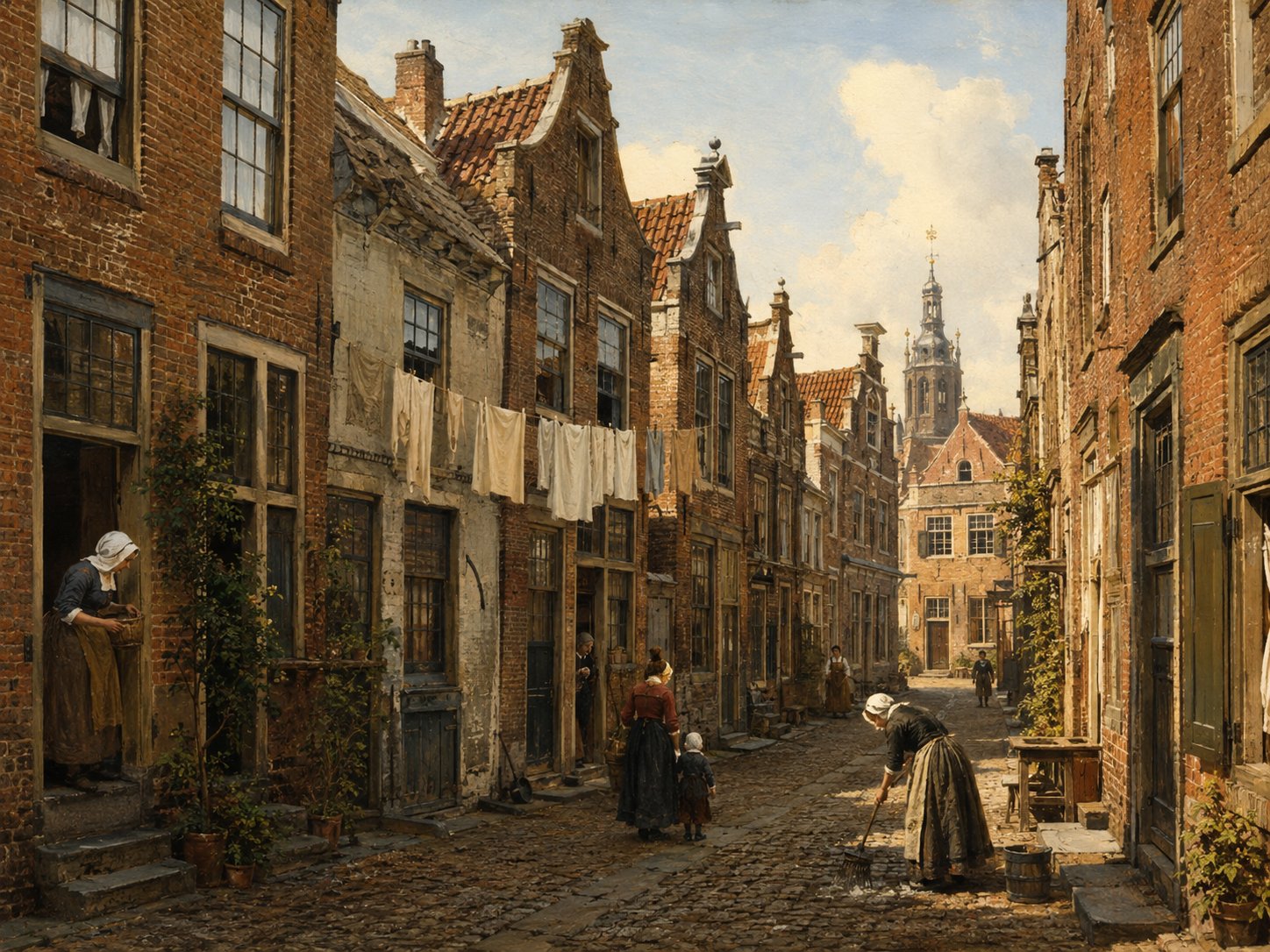
Barbarasteeg is a short lane in Leiden's old city centre, its name apparently referencing Saint Barbara; older spellings such as Barbarenstege and Barbaren stege appear in seventeenth-century sources. No independent history of the alley's naming or origins has been traced. Surviving deeds show it as a modest street of houses bought, sold and mortgaged by local tradesmen such as cord makers and wool combers, typical of Leiden's smaller residential lanes. Source: erfgoedleiden.nl Straatnamenindex
Open 4 archive records
On 4 March 1616, Jan Adriaensz, cord maker, transfers to John Ellis, wool comber, a house and ground on the east side of the Barbarasteeg.
View the official recordOn 22 February 1617, Jan Jansz Blomsaet, baker, transfers to Thomas Rogers, Englishman, a house and ground on the west side of the Barbarasteeg in Leiden.
View the official recordOn 1 April 1620, Thomas Rogers, Englishman, transfers to Mardecheus Colven, old clothes merchant, a house and ground on the west side of the Barbarasteeg in Leiden.
View the official recordContract dated 28 June 1629, between Christopher Jans Ellis, woodworker in Leiden, and his father John Williams Ellis, now the husband of Margaret Ellis, over the ownership and the rental of a house and grounds in the Barbarasteeg.
View the official record
BlauwesteegstreetShow detailsHide details
1 record
Spellings in the recordsBlauwesteech
About this place
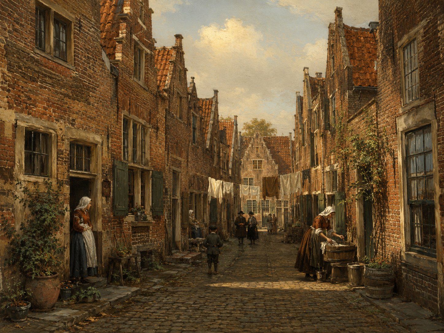
Blauwesteeg was a minor lane in Leiden's historic centre, known chiefly from property and street-name records rather than from any surviving building or monument. Its name follows a common Dutch pattern in which an alley took its name, 'blauw' ('blue'), from the colour of a house sign, gable stone, or nearby landmark rather than from a person. Little further detail about its precise course or later fate has survived in accessible sources. Source: Leiden street-name records, Historisch Leiden in Kaart
Open 1 archive record
Registration of the banns of Richard Vlyer, bachelor, from Lincoln in England, and Elizabeth Jennings, spinster, from Leiden, with Laurens Santer, acquaintance of the groom, and Rose Willems, mother of the bride, as witnesses.
View the official record
BoisestraatstreetShow detailsHide details
1 record
Spellings in the recordsBoisestraat · Boisstraet
About this place
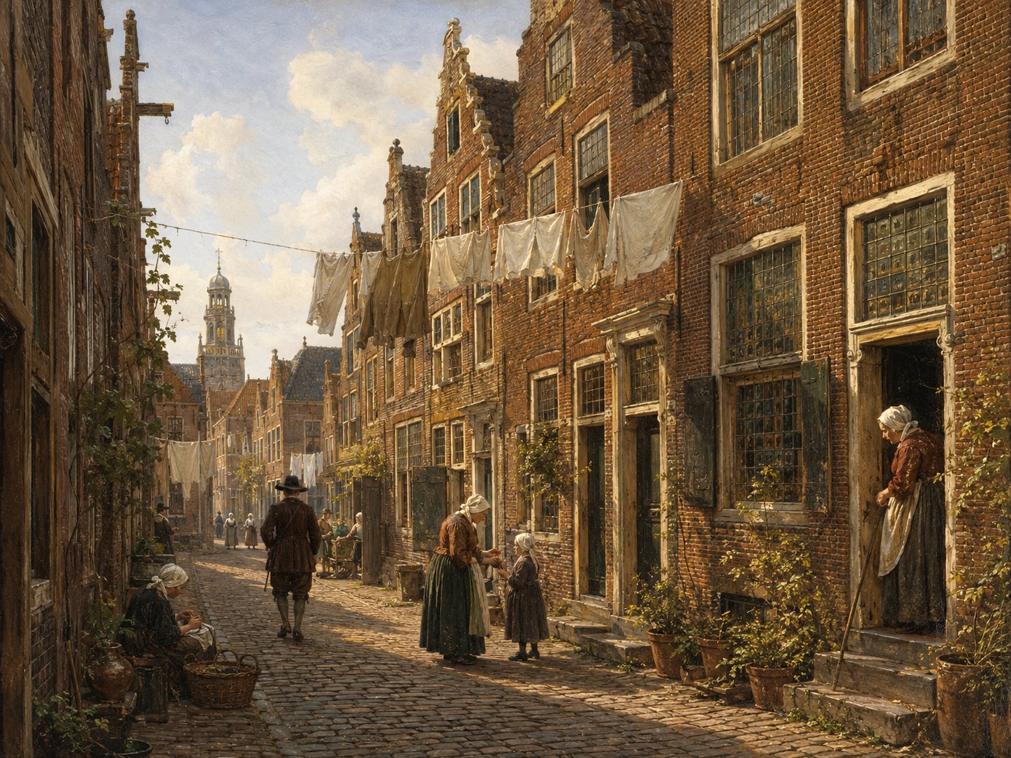
Boisestraat was an alternative name for the Crommenelleboogsteeg, also written Kromme Elleboogsteeg, a narrow lane that once ran near the Rapenburg canal in Leiden, on the site of today's Rapenburg 85–87. Its name, from 'crom(me) elleboog', literally 'crooked elbow', described the lane's sharply bent, angular course, a descriptive naming pattern also used for similarly shaped alleys in other Dutch towns. Like many minor lanes along the Rapenburg, it vanished from the map as adjoining properties were combined and rebuilt over the course of the seventeenth century. Source: Leiden street-name records; Rapenburg building history
Open 1 archive record
Burial of the housewife of Robert Cushman, who lives in Boisestraat.
View the official record
BouwenlouwensteegstreetShow detailsHide details
2 records
Spellings in the recordsBouwenlouwensteeg · Bouwenlouwe stege
About this place
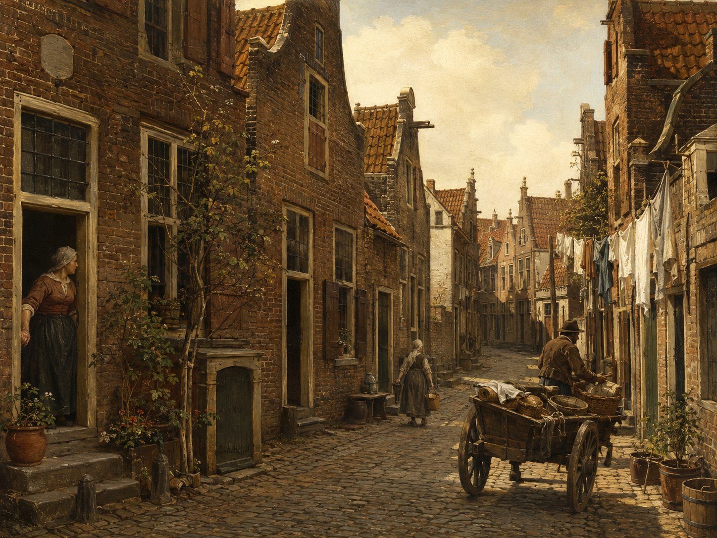
The Bouwenlouwensteeg was a narrow alley off the Achtergracht in Leiden's Marendorp quarter. Its earlier recorded form, Bouwenlouwe stege, suggests it preserved the name of an early resident or property owner, a common origin for Leiden's small steegjes. It appears in property records from at least 1612, when it marked the boundary of a newly built house on the Achtergracht. Source: archive records
Open 2 archive records
On 2 March 1612 Laurys van Dale, mason, transfers to William Bradford, Englishman, a newly-built house and ground on the north side of the Achtergracht running along Marendorp between the Paradijssteeg and the Bouwenlouwensteeg in Leiden.
View the official recordTransfer of title by William Bradford, serge wever, to Jan des Obrys, skinner, of a house on the northern side of the Achtergracht between the Paradijssteeg and the Bouwenlouwensteeg in Leiden.
View the official record
BreestraatstreetShow detailsHide details
3 records
Spellings in the recordsBreestraat · Bredestraet · Breedestraet
About this place
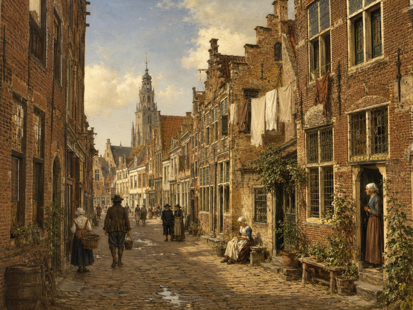
Breestraat is Leiden's principal street, laid out along a dike built in the mid-twelfth century on the bank of the Rhine; the oldest known timber houses in the city stood along this same dike, and archaeological remains found beneath the street have been dated even earlier, to roughly 650–900 AD. By the seventeenth century it was the city's central thoroughfare, home to the town hall and lined with shops and grand houses, and it remains Leiden's main shopping street today. Source: historiek.net
Open 3 archive records
Witness statement by Arthur Stanton, about 42 years old, tobacco pipe maker, and Nicholas Claverly, about 27 years old, tobacco pipe maker, at the request of Degory Priest, hatter in Leiden.
View the official recordTestament of Nicholas Hooke, widower of Cathalina Springers and resident of Hazerswoude, drawn up by Notary Jacob Jansz.
View the official recordRegistration of the banns of John Masterson, bachelor, serge weaver from Henloo (?) in England, and Catherine Lisle, spinster, from Yarmouth in England, with John Jennings and Hubert Brood, acquaintances of the groom, and Rose Jennings, acquaintance of the bride, as witnesses.
View the official record
CatharinaveststeegstreetShow detailsHide details
5 records
Spellings in the recordsKatalijneveststeeg · Kathalijneveststeeg · Kathelijneveststeeg · Katalineveststege · Cathaline Veststege · Catharijnen Veststeech · Catharijnen Veststeeg
About this place
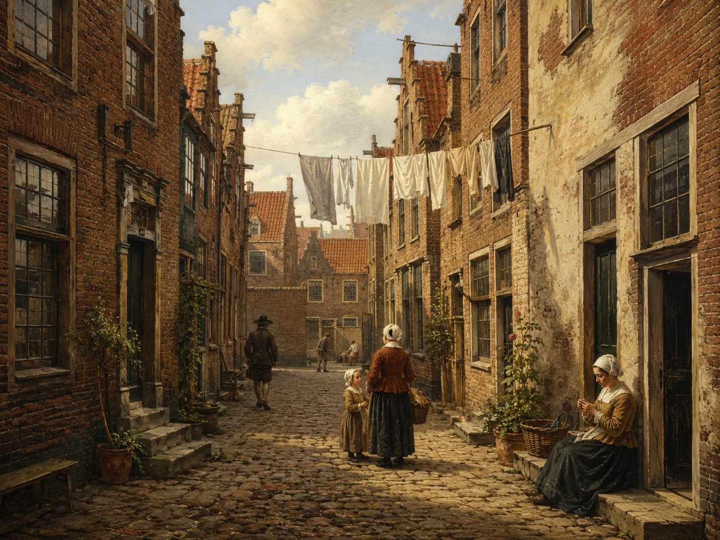
Catharinaveststeeg was a minor Leiden lane whose name combines two common elements of the city's street-naming: 'Catharina', most plausibly recalling the Sint-Catharinagasthuis, an almshouse first recorded before 1275 and traditionally regarded as Leiden's oldest charitable institution, and 'vest', the Dutch word for a town rampart or moat. Together the elements suggest a lane associated with ground near Leiden's fortifications. The gasthuis itself stood near the Breestraat and Aalmarkt until its buildings were demolished in 1872, long after the surrounding street pattern had already changed. Beyond this naming evidence, little further detail about the lane survives in accessible sources. Source: Sint-Catharinagasthuis (Leiden), Wikipedia; verdwenengebouwen.nl
Open 5 archive records
Witness statement by Lawrence Colson, about 38 years old, serge weaver, living in the Katalijneveststeeg in Leiden, and Bartholomew Smith, about 29 years old, fustian weaver, living in the Kathalijneveststeeg in Leiden, made at the request of David de Kneeck, serge weaver in Leiden, concerning an accusation of perjury and defamation of character.
View the official recordA house on St. Catharina Veststeeg in the district of Noord-Rapenburg is sold in 1610 by Claes Quant, as representative of Sion Lus, to Adriaen Adriaensz van der Haerbrugge.
View the official recordA house on St. Catharina Veststeeg in the district of Noord-Rapenburg is sold in 1610 by Claes Quant, as representative of Sion Lus, to Adriaen Adriaensz van der Haerbrugge.
View the official recordConveyance deed dated 23 March 1612 of a house and grounds on the north side of the Cathaline Veststege from Adriaen Adriaensz van der Haerbrugge, carpenter, to Henry Collet, wool comber and grocer.
View the official recordA house on St. Catharina Veststeeg in the district of Noord-Rapenburg is sold in 1610 by Claes Quant, as representative of Sion Lus, to Adriaen Adriaensz van der Haerbrugge.
View the official record
CrommenelleboogsteegstreetShow detailsHide details
1 record
Spellings in the recordsCrommenelleboochsteech
About this place
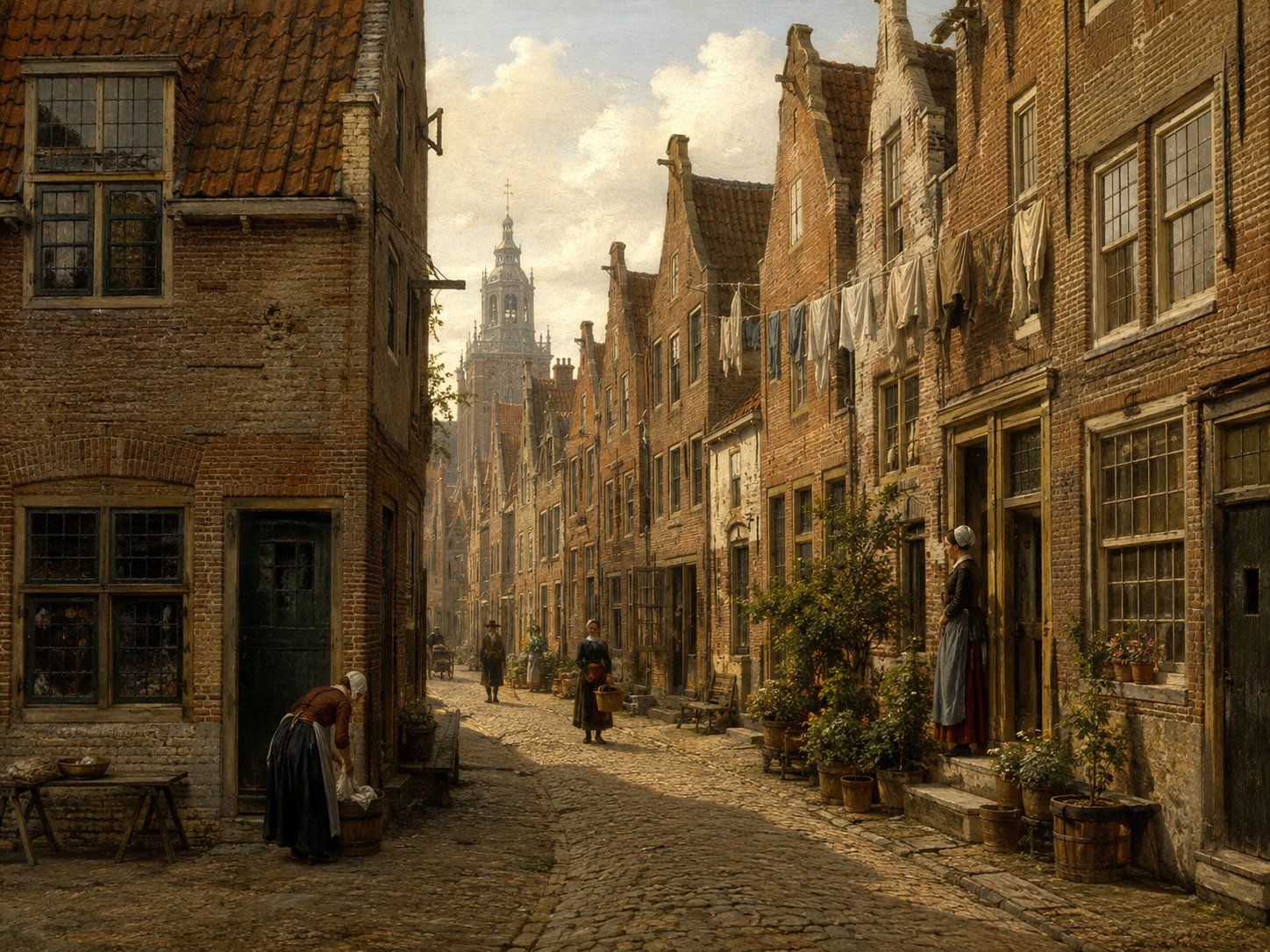
Crommenelleboogsteeg, also recorded as Boisestraat, was a narrow lane near the Rapenburg canal in Leiden, on the site of today's Rapenburg 85–87. Its name, from 'crom(me) elleboog' ('crooked elbow'), described the lane's sharply bent, angular course, a descriptive naming pattern also used for similarly shaped alleys elsewhere in the Netherlands. Like many minor lanes along the Rapenburg, it disappeared from the map as adjoining properties were combined and rebuilt during the seventeenth century. Source: Leiden street-name records; Rapenburg building history
Open 1 archive record
On 23 February 1618, Phineas Edwards, hosier, appears before the aldermen of Leiden.
View the official record
De Groene PoortcourtShow detailsHide details
10 records
Spellings in the recordsDe Groene Poort · de Groene Poort · Groenepoort · Groene Poort
About this place
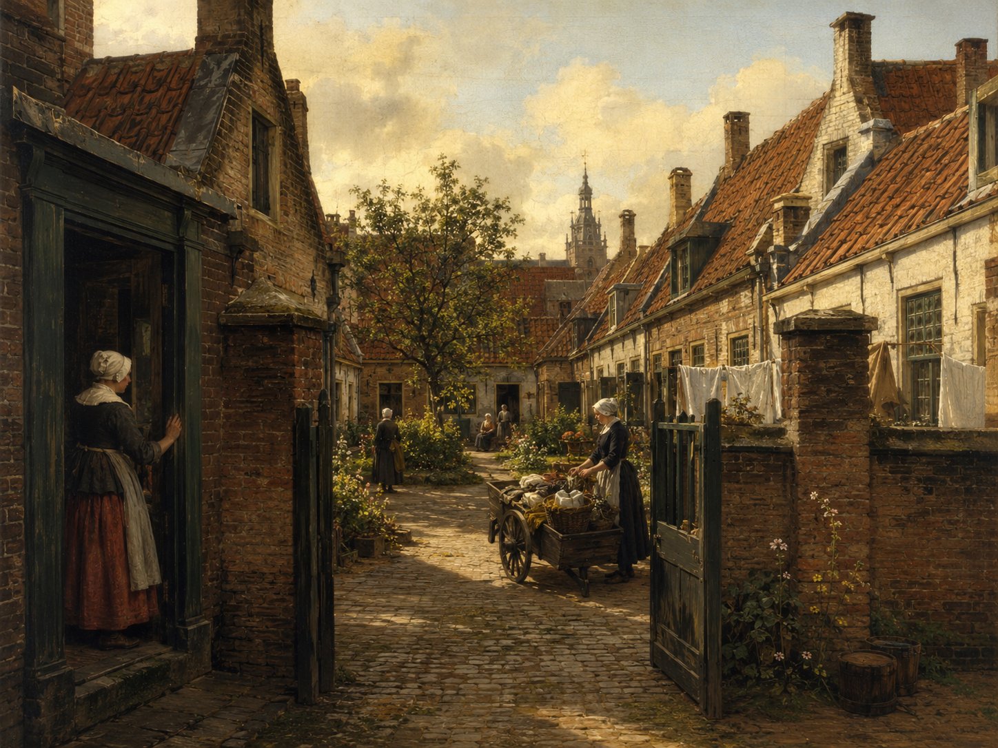
De Groene Poort, also known as the Engelse Poort (‘English Gate’), was a courtyard property on the south side of the Pieterskerkhof, in the oldest part of Leiden around the Pieterskerk. After the English community that had gathered there dispersed, the site fell into disrepair until 1683, when Marie de Lannoy founded an almshouse there for elderly members of Leiden's Walloon community. Rebuilt as the Jean Pesijnhofje, it still stands today at Kloksteeg 21. Source: oudleiden.nl, Historische Vereniging Oud Leiden
Open 10 archive records
On 27 January 1611, Jean de Lalaing transfers to John Robinson, pastor of the English Church in Leiden, William Jepson, Henry Wood and Jane White (assisted by her guardian Nicolas White) a house and ground on the Pieterskerkhof by the Kloksteeg in Leiden, known as the Groene Poort.
View the official recordOn 5 May 1611, Jean de Lalaing transfers to John Robinson, pastor of the English Church in Leiden, William Jepson, Henry Wood and Ralph Thickins a house and grounds known as the De Groene Poort on the south side of the Pieterskerkhof near the Kloksteeg in Leiden.
View the official recordSale by Jean de Lalaing of the house De Groene Poort on the south side of the Pieterskerkhof near the Kloksteeg in Leiden to John Robinson, pastor of the English Church in Leiden, William Jepson, Henry Wood and Ralph Thickins, husband of Jane White, each for a quarter share.
View the official recordRegistration of the banns of Edmund Jessop, widower of Ellen Underwood, cotton weaver from Ackworth in England, and Abigail Hunt, spinster, from Frensham in England, with Samuel Fuller and William Jepson, acquaintances of the groom, and Rosamond Jepson (née Horsfield) and Mary Wood, acquaintances of the bride, as witnesses.
View the official recordLast will and testament of Thomas Brewer, living in “De Groene Poort” on the Pieterskerkhof in Leiden, and his wife Anne Brewer (née Offley).
View the official recordAgreement between Jonathan Brewster, ribbon maker, living in “De Groene Poort” on the Pieterskerkhof in Leiden, and Thomas Brewer, living in the Kloksteeg in Leiden, to go into business together.
View the official recordHenry Wood authorises Henry Jepson to sell a quarter part of De Groene Poort, a house on the southside of the Pieterskerkhof.
View the official recordConveyance deed for some houses on the south side of the Pieterskerkhof called the Groenepoort from the guardians, Johan van Leeuwen and John Jennings, of the orphan child of William Jepson, carpenter, and Rosamond Jepson (née Horsfield) to Christopher Jans Ellis, woodworker.
View the official recordSale by Pieter Gerritsz van der Speck of a lot located at Groene Poort, South Side of Pieterskerkhof, to Christopher Jans Ellis on 10 May 1640.
View the official recordSale by Christopher Jans Ellis of part of a lot located at Groene Poort, South Side of Pieterskerkhof, to Pieter Gerritsz van der Speck on 10 May 1640.
View the official record
DiefsteegstreetShow detailsHide details
2 records
Spellings in the recordsDiefsteeg · Dieffsteech · Diefstege
About this place
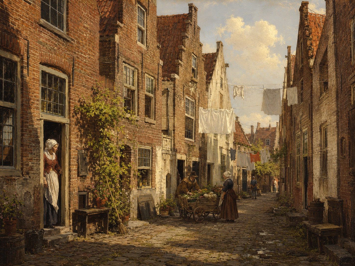
Diefsteeg, literally ‘Thief's Alley’, is a narrow lane in Leiden's medieval centre, its name recorded in older forms such as Dieffsteech and Diefstege. It ran near the Langebrug, within the dense network of small alleys typical of the old city. No independent account of the origin of its name or of specific events there has been found; it is known chiefly through such passing references in old deeds and depositions. Source: archive records
Open 2 archive records
Statement made by James Chilton, about 63 years old, living in Leiden in an alley on the Langebrug, past the Diefsteeg, and Angel Chilton, about 22 years old, his daughter, at the request of the Leiden Remonstrant Brethren, concerning an outbreak of rioting involving some youngsters on Sunday April 28, 1619.
View the official recordOn 13 January 1625, Thomas Inman, tobacco seller from Leiden appears before Notary Cornelis Dircxsz van Grotelande of Leiden.
View the official record
DoelsteegstreetShow detailsHide details
1 record
Spellings in the recordsDoelsteech
About this place
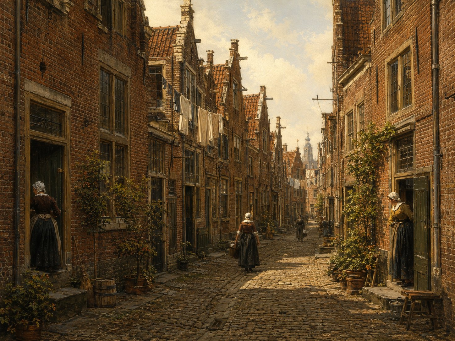
Doelsteeg took its name from the 'doelen', the shooting range and drill grounds of Leiden's civic guard, formed shortly after 1574 by the merger of the town's two medieval archers' guilds, the Jorisgilde and the Sebastiaansgilde. The nearby Doelenpoort, designed in 1645 by the Leiden architect Arent van 's-Gravesande, marks the site of the former Sint-Jorisdoelen guild hall, which stood until its demolition in 1821. The lane survives today as Doelensteeg, running near the Rapenburg in the old university quarter of the city. Source: geschiedenisextra.nl; Doelenpoort, Wikipedia
Open 1 archive record
On 23 February 1618, Phineas Edwards, hosier, appears before the aldermen of Leiden.
View the official record
Donkere GrachtcanalShow detailsHide details
3 records
Spellings in the recordsDonkere gracht · Donckere Graft · Donckre Graft · Donckeregraft
About this place
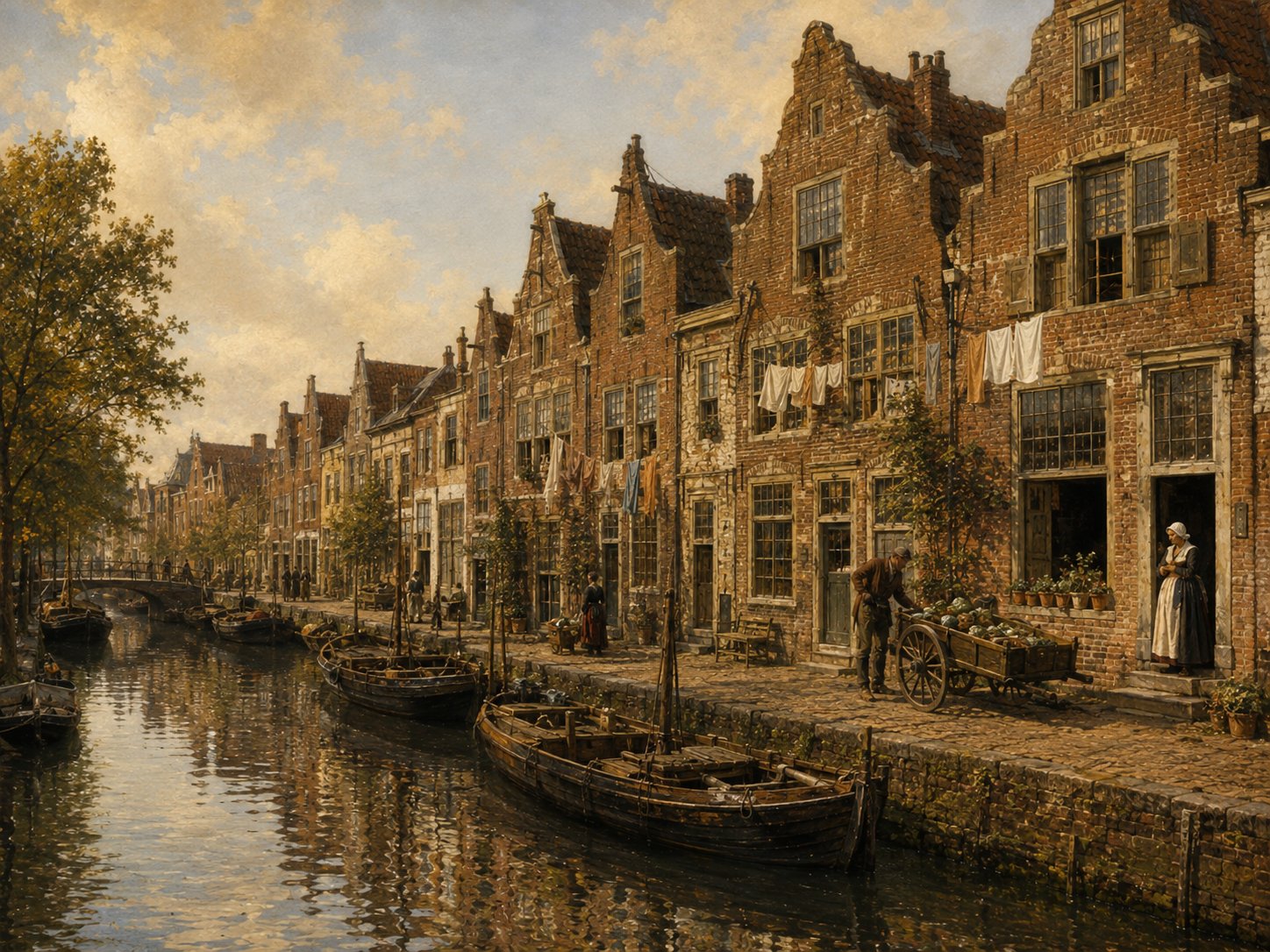
The Donkeregracht ('dark canal') was a branch of Leiden's medieval Vliet water system that ran between the Rapenburg and the Kloksteeg, close to the Gravensteen and the chapel of the Faliede Begijnhof. Like many of the city's minor waterways, it was built over in stages rather than filled in all at once: a section near the Pieterskerkhof was covered with houses shortly after 1400, and around 1450 another stretch was covered to make way for construction of the Faliede Begijnhof's chapel. The remaining open sections flanking the chapel, between Rapenburg and Kloksteeg, were covered by the end of the sixteenth century, and the last portion, near the Gravensteen, was culverted in 1670. Source: waterambachtleiden.nl, Historische ontwikkeling Leids stadswater
Open 3 archive records
On 27 January 1611, Jean de Lalaing transfers to John Robinson, pastor of the English Church in Leiden, William Jepson, Henry Wood and Jane White (assisted by her guardian Nicolas White) a house and ground on the Pieterskerkhof by the Kloksteeg in Leiden, known as the Groene Poort.
View the official recordOn 5 May 1611, Jean de Lalaing transfers to John Robinson, pastor of the English Church in Leiden, William Jepson, Henry Wood and Ralph Thickins a house and grounds known as the De Groene Poort on the south side of the Pieterskerkhof near the Kloksteeg in Leiden.
View the official recordSale by Jean de Lalaing of the house De Groene Poort on the south side of the Pieterskerkhof near the Kloksteeg in Leiden to John Robinson, pastor of the English Church in Leiden, William Jepson, Henry Wood and Ralph Thickins, husband of Jane White, each for a quarter share.
View the official record
DwarsherenstraatstreetShow detailsHide details
5 records
Spellings in the recordsDwersheerenstraet
About this place
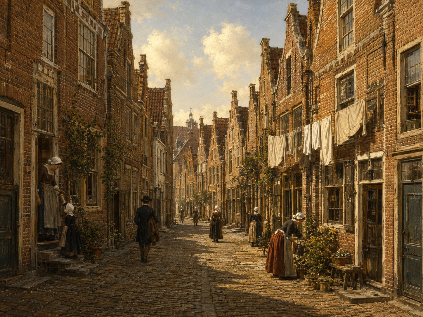
The Dwarsherenstraat lay in Zevenhuizen, one of Leiden's historic civic neighbourhoods already recognised before 1600. As its name suggests — ‘dwars’ meaning ‘crosswise’ — it was a side street cutting across a more prominent thoroughfare, a common pattern among Leiden's minor streets. Surviving deeds show a house on its north side changing hands repeatedly through the early seventeenth century. Source: oudleiden.nl
Open 5 archive records
A house on the Dwersheerenstraet Noordzijde in the district of Zevenhuizen was sold in 1595 by the widow of Jan Thonisz to Thomas van Ondemarcken, who in his turn sold the house to Henry Collet in 1612.
View the official recordA house on the Dwersheerenstraet Noordzijde in the district of Zevenhuizen was sold in 1595 by the widow of Jan Thonisz to Thomas van Ondemarcken, who in his turn sold the house to Henry Collet in 1612.
View the official recordOn the 28th of March 1614 John Keble, wool comber, transfers to Henry Collet a house and yard on the north side of the Dwersheerenstraet in Leiden.
View the official recordA house on the Dwersheerenstraet Noordzijde in the district of Zevenhuizen was sold in 1595 by the widow of Jan Thonisz to Thomas van Ondemarcken, who in his turn sold the house to Henry Collet in 1612.
View the official recordA house on the Dwersheerenstraet Noordzijde in the district of Zevenhuizen was sold in 1595 by the widow of Jan Thonisz to Thomas van Ondemarcken, who in his turn sold the house to Henry Collet in 1612.
View the official record
Engelse PoortcourtShow detailsHide details
4 records
Spellings in the recordsEngelse Poort · Engelsche Poort
About this place
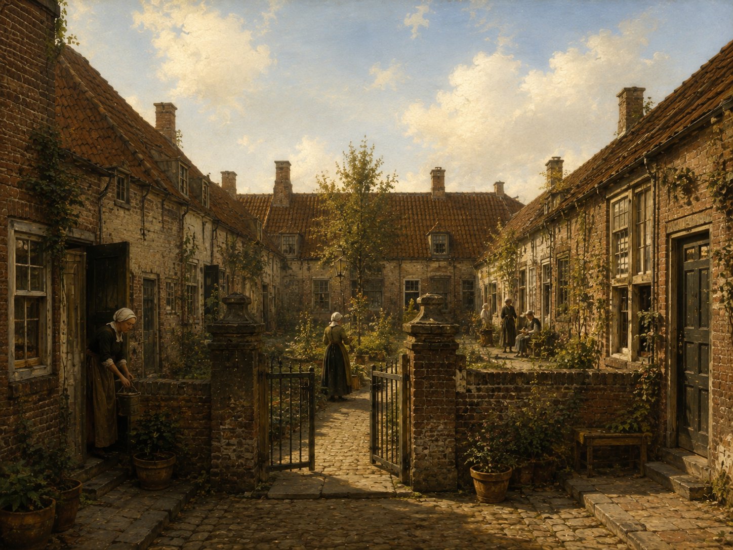
Engelse Poort ('English Gate') takes its name from a group of Pilgrim Fathers who lived on this courtyard site beside the Pieterskerk before departing for America. In 1683 Marie de Lannoy — widow of Jean Pesijn, a refugee from the Lille region — founded an almshouse here for elderly members of Leiden's Walloon Reformed Church: the Jean Pesijnhofje, which still stands today at Kloksteeg 21 and remains governed by regents. Source: oudleiden.nl
Open 4 archive records
Burial of Alice Ellis, who lived in Engelse Poort near Klockhuys.
View the official recordBurial of a child of William Jepson, who lives in Engelse Poort.
View the official recordBurial of a daughter of William Jepson, who lives in Engelse Poort.
View the official recordBurial of a son and a daughter of William Jepson, who lives near Engelse Poort.
View the official record
Faliede BegijnhofcourtShow detailsHide details
1 record
Spellings in the recordsFaliede Begijnhof
About this place
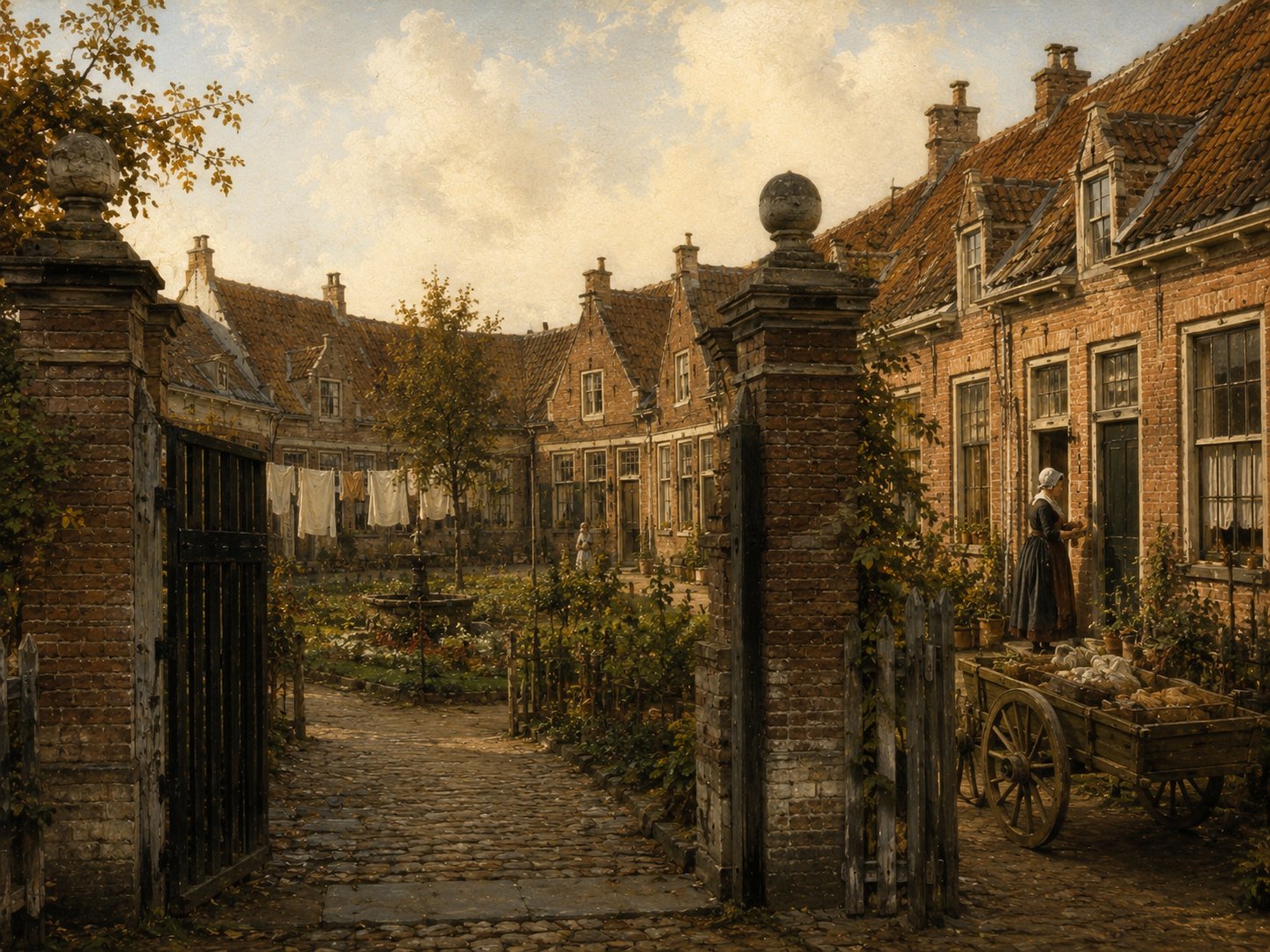
The Faliede Begijnhof was a late-medieval beguinage in Leiden, a walled community of lay religious women, whose chapel was built around the mid-fifteenth century on ground beside the Rapenburg, at what is now Rapenburg 70. After the Reformation the chapel was rebuilt in 1591–1593 and in 1595 became the home of Leiden University's library, a function it retained for nearly four centuries until the library moved to the Witte Singel in 1983. The building was substantially altered over time, losing its original tower and spire in 1819 and being largely replaced by a new L-shaped structure built between 1915 and 1927 under architect J.A.W. Vrijman. It now serves as the seat of Leiden University's Executive Board and is a listed national monument. Source: Universiteit Leiden, Oude UB; Rijksmonumentenregister
Open 1 archive record
Sale by Jean de Lalaing of the house De Groene Poort on the south side of the Pieterskerkhof near the Kloksteeg in Leiden to John Robinson, pastor of the English Church in Leiden, William Jepson, Henry Wood and Ralph Thickins, husband of Jane White, each for a quarter share.
View the official record
GroenesteegstreetShow detailsHide details
4 records
Spellings in the recordsGroenesteeg · Groenesteech
About this place
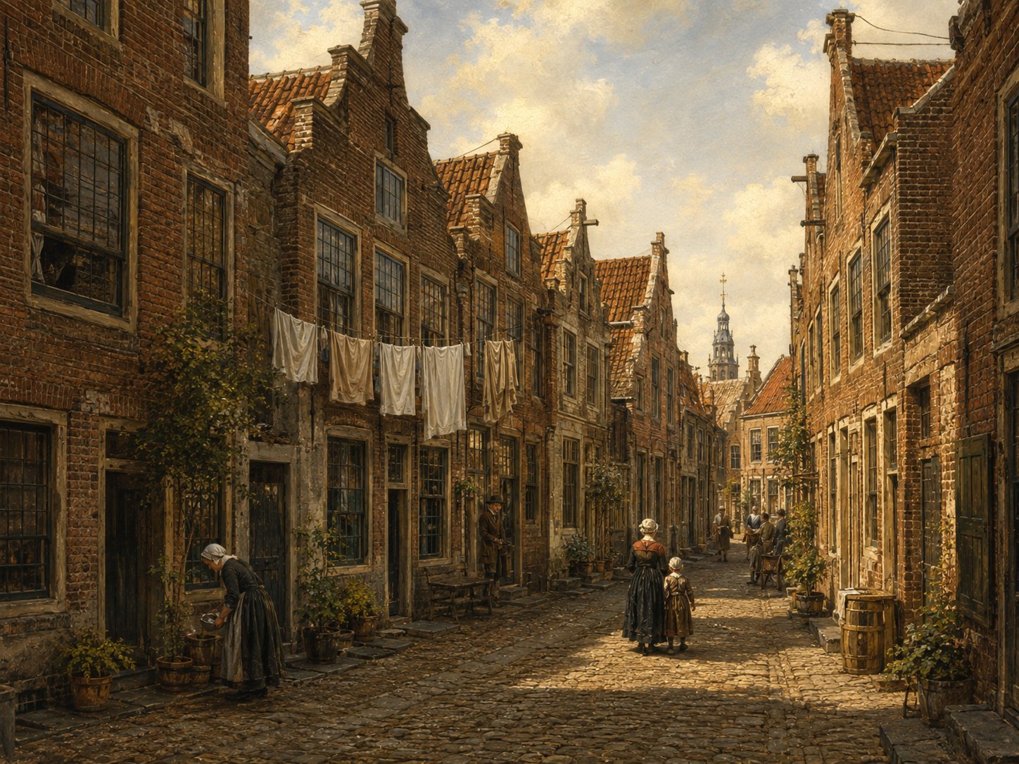
Groenesteeg is a narrow street in Leiden that originated around 1346, during the city's second medieval expansion, when new districts were laid out eastward from the Hooigracht following an influx of Flemish immigrants from the Ieper region. Running from the Hooigracht for nearly 500 metres to the historic Begraafplaats Groenesteeg, the lane originally led out into open pastureland beyond the city's edge, from which it takes its name ('groen,' green); its final stretch was once known separately as the Veststeeg. After Leiden's 1659 expansion the street was lengthened to the Zijlsingel and divided into numbered sections, and today the building at Groenesteeg 70 is a listed Rijksmonument, with 23 further houses holding municipal monument status. Source: Groenesteeg, Wikipedia; Historisch Leiden In Kaart, straatnamen
Open 4 archive records
Burial of a child of William White, who lives in Groenesteeg.
View the official recordBurial of a child of Samuel Lee, who lives in Groenesteeg.
View the official recordRegistration of the banns of Thomas Rijckaert, widower of Anna Chapel, weaver from Colchester in England, and Sarah Thomas, spinster, from Sandwich in England, with Samuel Lee and Sarah Thomas, cousin of the bride, as witnesses.
View the official recordDeed of sale of a property located on the corner of Korte Groenesteeg and Uiterste Gracht.
View the official record
Groenhazengrachtcanal + streetShow detailsHide details
7 records
Spellings in the recordsGroenhazengracht · Groenhasengracht · Groenehazengraft · Groenehasengrafte · Groenehasegraft
About this place
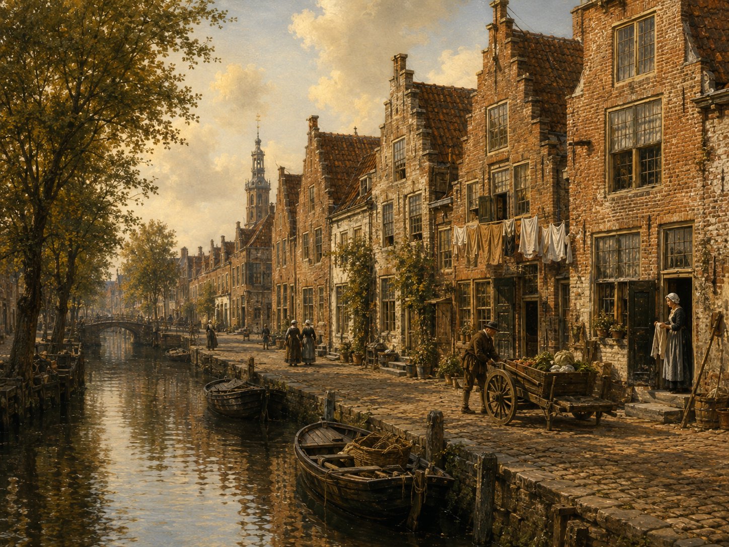
The Groenhazengracht is one of Leiden's oldest waterways, its course following the early-medieval drainage pattern on which the city itself was built, long before the planned expansions of the seventeenth century. Lying in what became the university quarter, it is still lined with small-scale seventeenth-century houses, several of which survive as protected monuments today. Newly built houses appear along it in property deeds from 1610. Source: Rijksmonumentenregister; municipal heritage document
Open 7 archive records
On 28 April 1610, Cornelis Gijsbrechtsz van Groenendael, carpenter, transfers to William Jepson, Englishman and carpenter, a newly-built house and ground on the south side of Nieuwstraat running along the Groenhazengracht.
View the official recordOn 28 April 1610, Cornelis Gijsbrechtsz van Groenendael, Englishman and carpenter, transfers to William Robinson, Englishman and leather worker, a newly-built house and ground on the south side of Nieuwstraat running along the Groenhazengracht.
View the official recordOn 28 April 1610, Cornelis Gijsbrechtsz van Groenendael, carpenter, transfers to William Jepson, Englishman and carpenter, a newly-built house and ground on the south side of Nieuwstraat running along the Groenhazengracht.
View the official recordOn 28 April 1610, Cornelis Gijsbrechtsz van Groenendael, carpenter, transfers to William Robinson, Englishman and leather worker, a newly-built house and ground on the south side of Nieuwstraat running along the Groenhazengracht.
View the official recordConveyance deed of a house and the south side of Groenhazengracht in Leiden from William Jepson, Englishman, to William Minter, Englishman.
View the official recordSale concerning a house on Groenhasengracht, south side
View the official recordA house on the Groenhazengracht Zuidzijde in the district of Noord-Rapenburg is sold in 1637 by the curator of the estate of William Robinson to Jacob Jansz de Haes.
View the official record
HaarlemmerstraatstreetShow detailsHide details
3 records
Spellings in the recordsHaarlemmerstraat · Haerlemmerstraet · Haerlemstraet
About this place
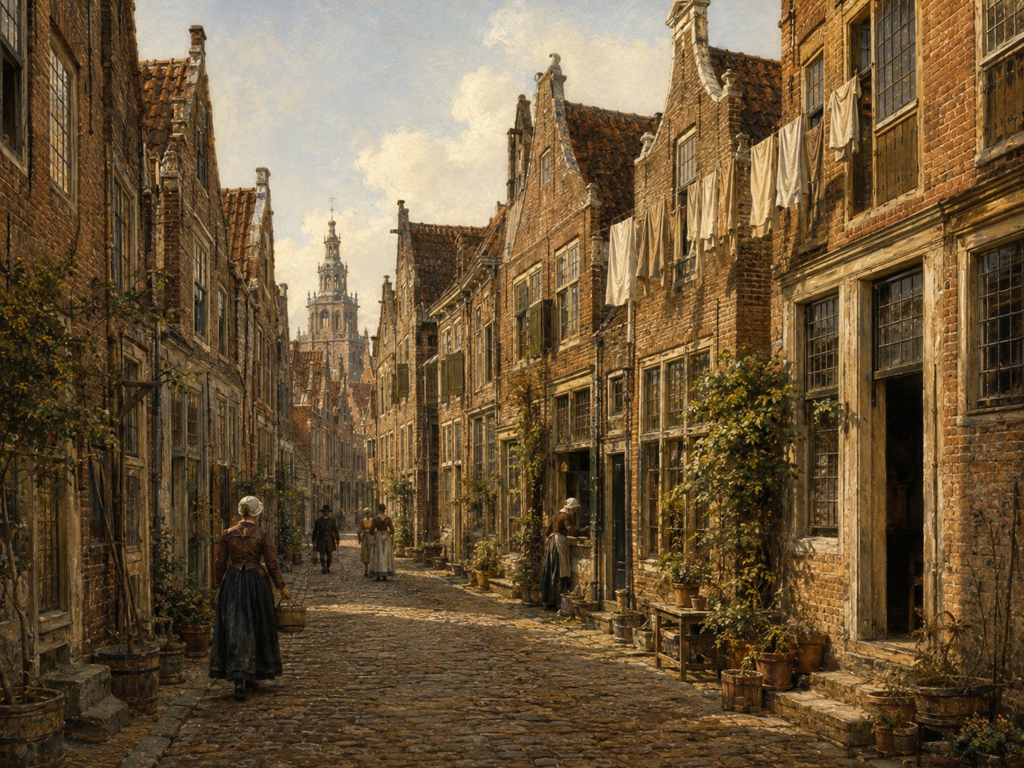
Haarlemmerstraat forms the direct northward continuation of the Breestraat, together making up the historic spine of Leiden's city centre. Its name, like that of similarly named streets in other Dutch towns, marks it as historically the start of the road leading out of the city towards Haarlem. Like the Breestraat, it developed as a busy commercial street, and it remains one of Leiden's principal shopping streets today. Source: oudleiden.nl
Open 3 archive records
Registration of the banns of Anthony Clements, widower of Janneken Jans, cotton weaver from England, and Clara Rogers, widow of Jan Jansz, with Quirijn Jansz van Stienevelt, acquaintance of the groom, and Marijtgen Jans, acquaintance of the bride, as witnesses.
View the official recordRegistration of the banns of Passchier Antonis, bachelor, from Amsterdam, and Jannetjen Jans, spinster, from England, with Anthony Clements, father of the groom, and Clara Rogers, future mother-in-law of the bride, as witnesses.
View the official recordRegistration of the banns of Joseph Jennings, bachelor, fabric mender from London in England, and Sarah Talbot, widow of Samuel Lee, with Jan de Bort, brother of the groom, and Elizabeth Ainsworth, acquaintance of the bride, as witnesses.
View the official record
HogewoerdsebrugbridgeShow detailsHide details
1 record
Spellings in the recordsHogewoerdsebrug · Hogewuertschebrugge
About this place
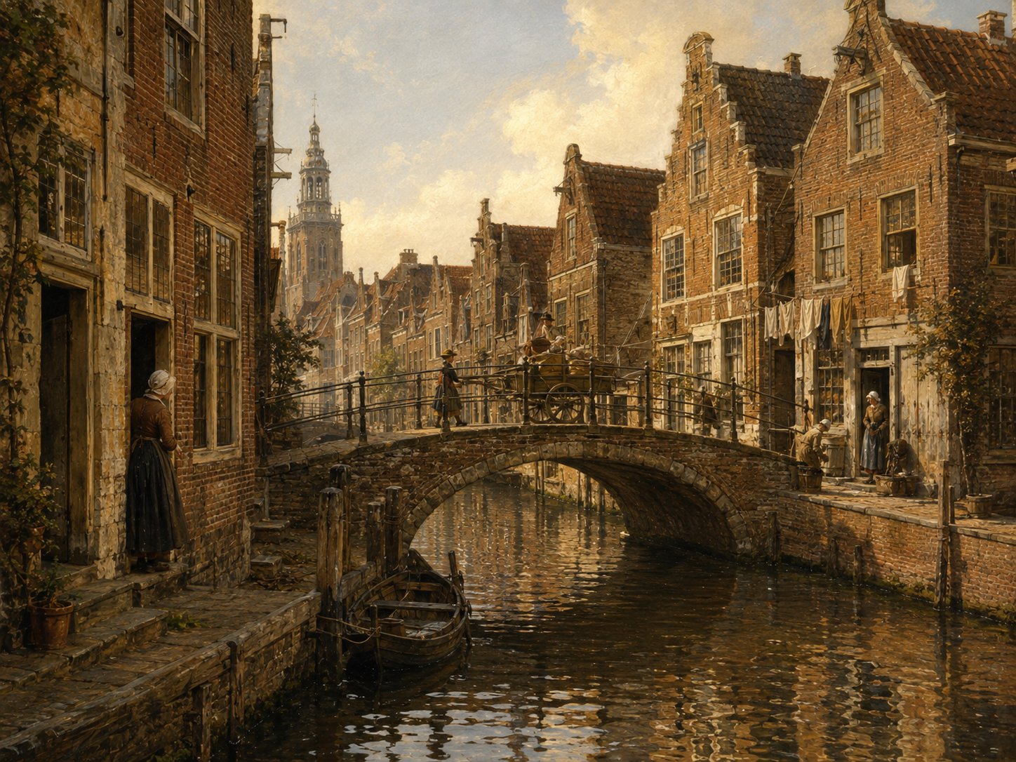
The Hogewoerdsebrug, recorded in Leiden's official bridge register as the Hogewoerdsbrug (bridge no. 34), is a small crossing carrying road, bicycle and pedestrian traffic over 't Gangetje, a narrow historic watercourse near the Garenmarkt end of the Hogewoerd. It takes its name from the Hogewoerd itself, one of the streets added to Leiden during the city's second medieval expansion, authorised in 1346 and confirmed in 1355. The bridge appears in a 1609 witness statement involving William Brewster: a buyer testified that he purchased damaged English cloth here from a merchant, moments after it had been unpacked and inspected at Brewster's own house on the nearby Stinksteeg, a small but vivid glimpse of the cloth trade running through the Brewster household. Source: Lijst van civiele kunstwerken in Leiden, Wikipedia; this collection's Leiden archival records
Open 1 archive record
Witness statement by William Brewster, Englishman, about 42, Mary Brewster, wife of William, about 40, and Jonathan Brewster, their son, about 16, at the request of Bernard Ross from Amsterdam about damaged cloth.
View the official record
Hooglandse Kerkgrachtcanal + streetShow detailsHide details
1 record
Spellings in the recordsHogelantsche Kerckgraft
About this place
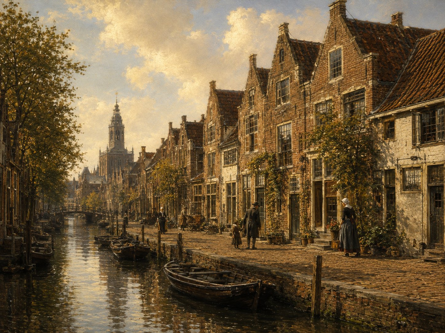
Hooglandse Kerkgracht is a street and former canal in Leiden's Binnenstad, running about 200 metres from the Oude Rijn at the Kerkbrug south to the Nieuwstraat, past the Hooglandse Kerk after which it is named. The lane was earlier known as the Wind- or Wintersteeg and ran along the west side of the church, which grew from a chapel the Bishop of Utrecht allowed the city to build there in the early fourteenth century; the waterway itself was later filled in, leaving today's tree-lined street. Recognised as a protected townscape and lined with several Rijksmonuments, including the Lutherse kerk and the Heilige Geest- of Arme Wees- en Kinderhuis, the street was substantially renovated and made largely car-free in 2004. Source: Hooglandse Kerkgracht, Wikipedia; Historische Vereniging Oud Leiden, "Straten"; Tagrijn, "Hooglandse Kerkgracht"
Open 1 archive record
Registration of the banns of Joseph Jennings, bachelor, fabric mender from London in England, and Sarah Talbot, widow of Samuel Lee, with Jan de Bort, brother of the groom, and Elizabeth Ainsworth, acquaintance of the bride, as witnesses.
View the official record
Hooigrachtcanal + streetShow detailsHide details
1 record
Spellings in the recordsHooigracht
About this place
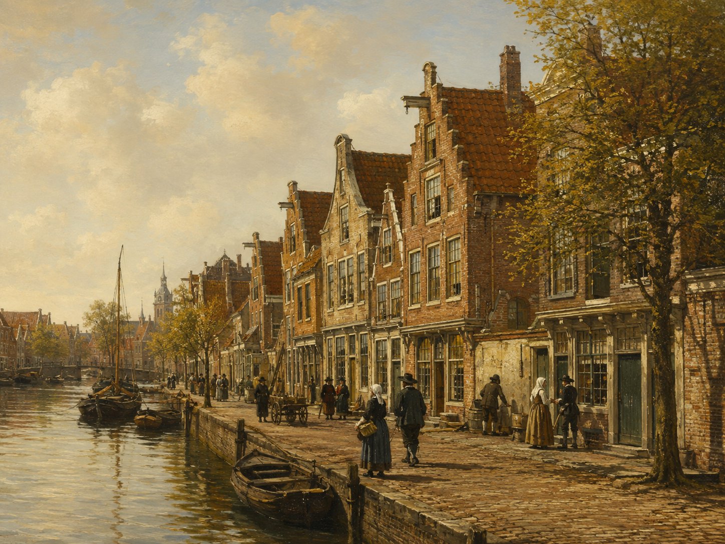
The Hooigracht's course follows Leiden's earliest, early-medieval drainage structure, placing it among the older watercourses of the old town rather than a product of the later planned expansions. Its name, literally ‘hay canal’, reflects the common Dutch practice of naming waterways after goods once traded or unloaded along them. By the 1620s it was a settled residential street, home to Leiden's cloth workers. Source: municipal Leiden Binnenstad II heritage document
Open 1 archive record
On 7 November 1622, Daniel Delinc, sworn broker, 40 years old, Nicholas Claverly, 35 years old, and Robert Talbot, 30 years old, appear before notary Jan Angillis in Leiden.
View the official record
HoutmarktsquareShow detailsHide details
1 record
Spellings in the recordsHoutmarkt
About this place
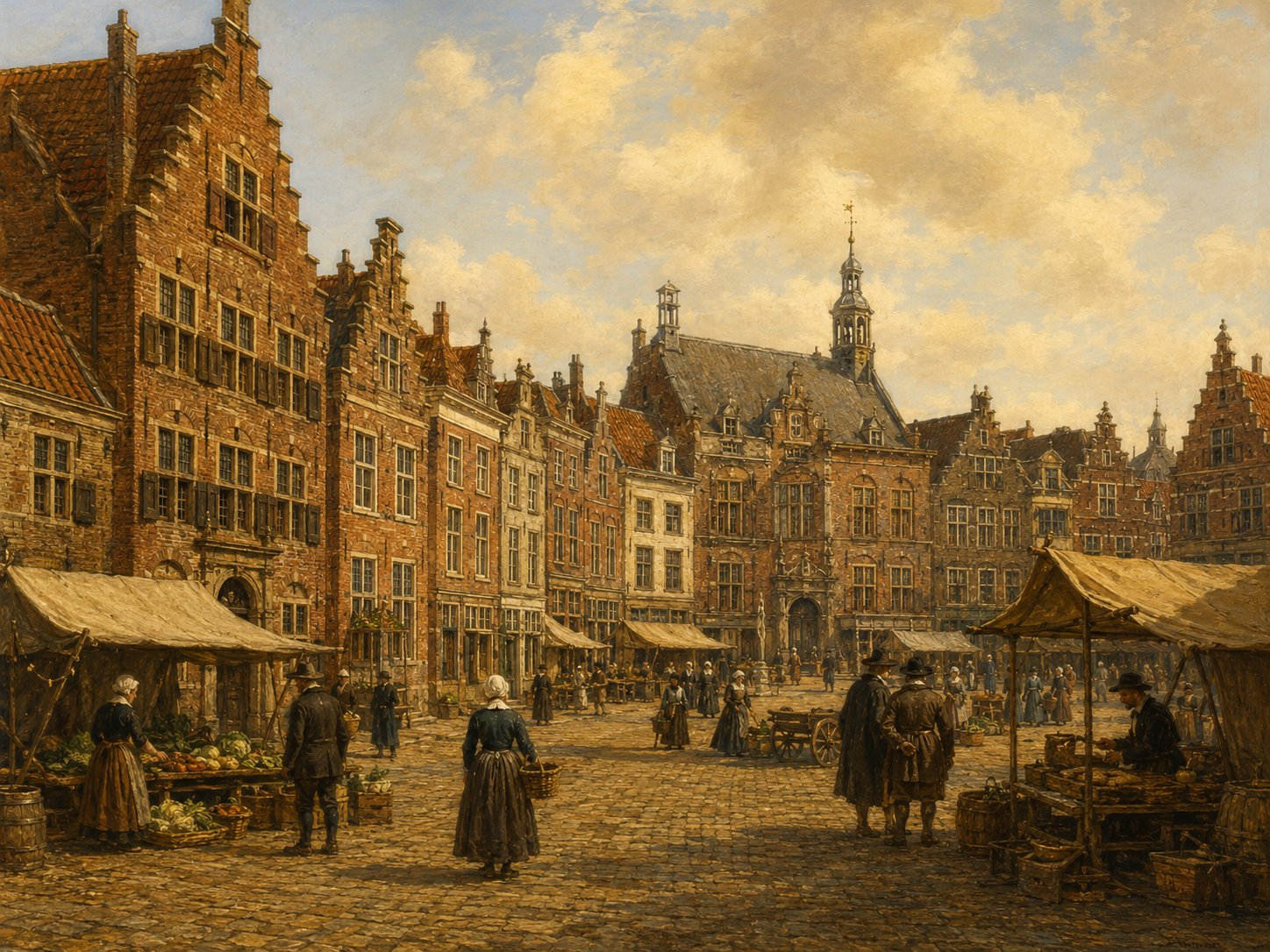
Houtmarkt is a small square whose name simply means ‘timber market’, suggesting it once served as a place where wood was traded or stored, probably brought into the city by boat along the nearby waterways. No independent history of the square itself has been traced; what survives is mainly its literal name and its position within Leiden's network of small historic market squares. Source: archive records
Open 1 archive record
Burial of a child of Robert Cushman, who lives in Houtmarkt.
View the official record
KloksteegstreetShow detailsHide details
5 records
Spellings in the recordsKloksteeg · Clocksteech
About this place
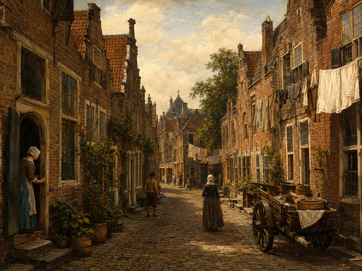
Kloksteeg is a narrow lane in Leiden's historic 'Over 't Hof' quarter, close by the Pieterskerk and the Rapenburg canal. According to local tradition the lane owes its name to the collapse of the Pieterskerk's roughly 110-metre west tower on the night of 5 March 1512; since the tower was never rebuilt, its salvaged bells were recast into one large bell and rehoused in a separate bell-tower building near the lane, which became known as Kloksteeg. The lane appears directly in the property records of Leiden's English Separatist congregation: in January 1611 Jean de Lalaing transferred a house on the Pieterskerkhof by the Kloksteeg, called De Groene Poort, to the congregation's pastor John Robinson together with William Jepson, Henry Wood and Jane White, and today the Leiden American Pilgrim Museum occupies premises on the Kloksteeg itself. Source: Pieterskerk, Leiden, Wikipedia; "Waarom heet de Kloksteeg in Leiden de Kloksteeg?", ProKwadraat; Pilgrim Museum Leiden, Wikipedia; this collection's Leiden archival records
Open 5 archive records
On 27 January 1611, Jean de Lalaing transfers to John Robinson, pastor of the English Church in Leiden, William Jepson, Henry Wood and Jane White (assisted by her guardian Nicolas White) a house and ground on the Pieterskerkhof by the Kloksteeg in Leiden, known as the Groene Poort.
View the official recordOn 5 May 1611, Jean de Lalaing transfers to John Robinson, pastor of the English Church in Leiden, William Jepson, Henry Wood and Ralph Thickins a house and grounds known as the De Groene Poort on the south side of the Pieterskerkhof near the Kloksteeg in Leiden.
View the official recordSale by Jean de Lalaing of the house De Groene Poort on the south side of the Pieterskerkhof near the Kloksteeg in Leiden to John Robinson, pastor of the English Church in Leiden, William Jepson, Henry Wood and Ralph Thickins, husband of Jane White, each for a quarter share.
View the official recordAgreement between Jonathan Brewster, ribbon maker, living in “De Groene Poort” on the Pieterskerkhof in Leiden, and Thomas Brewer, living in the Kloksteeg in Leiden, to go into business together.
View the official recordRegistration of the banns of John Jennings, bachelor, cloth maker from Leiden, and Fear Robinson, spinster, also from Leiden, with Elias Aernouts, acquaintance of the groom, and Rose Jennings (née Lisle), future mother-in-law of the bride, as witnesses.
View the official record
KoenesteegstreetShow detailsHide details
1 record
Spellings in the recordsKoenesteeg · Koenesteech
About this place
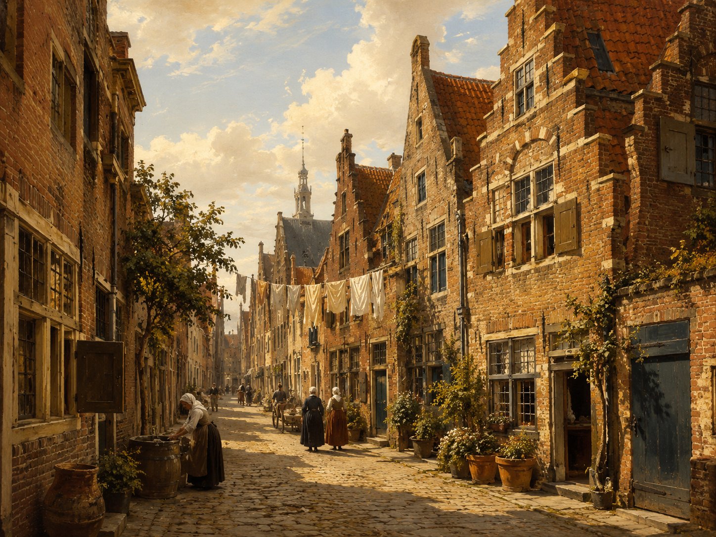
Koenesteeg is a short lane in Leiden's Hogewoerd district, running between the Hogewoerd and the parallel Levendaal. Historic neighbourhood records place several now-vanished lanes and dwellings, such as the Krauwelsteeg, Keizersteeg and the Brechtenpoort almshouses, by reference to their position relative to the Koenesteeg, and the lane itself gave its name to a small corner house recorded as Koenesteeg 1 after Leiden's 1871 renumbering. That building survived into the twentieth century before being absorbed into the adjoining wine-merchant's premises at Hogewoerd 59-61 and was later demolished during a renovation. Source: Historische Vereniging Oud Leiden, "Straten"; Stichting Diogenes Leiden, "Koenesteeg 1"
Open 1 archive record
Burial of a child of William Bridgeman, who lives in Koenesteeg.
View the official record
KoepoortsgrachtcanalShow detailsHide details
8 records
Spellings in the recordsKoepoortsgracht · Koepoortgracht · Coepoortsgraft · Coepoortgraft · Koupergraft
About this place
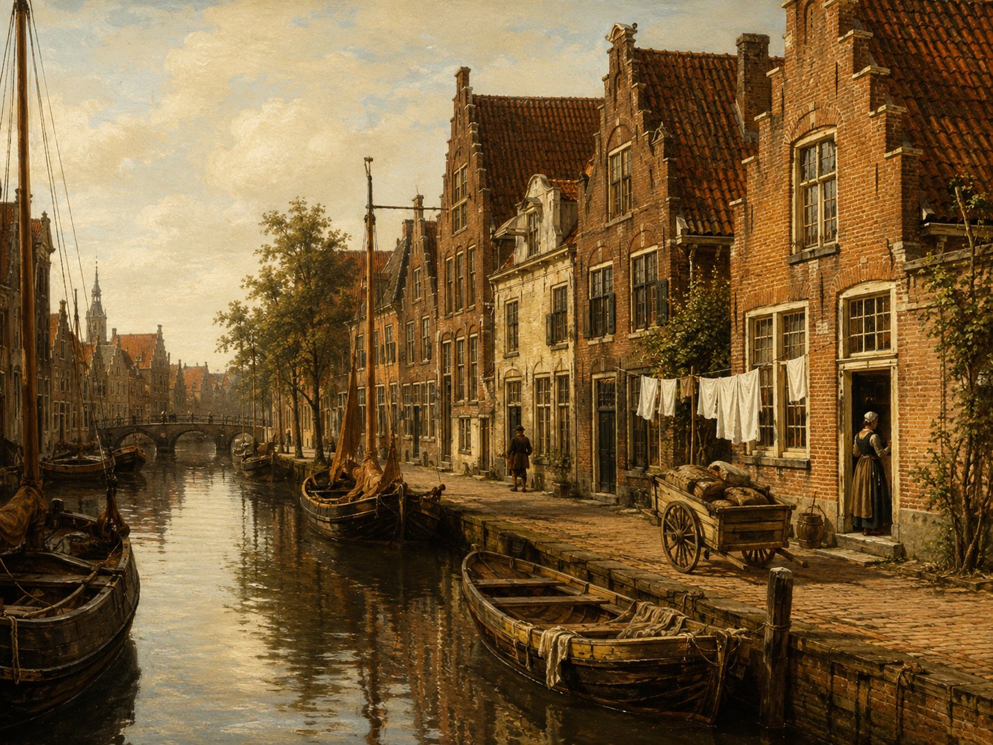
The Koepoortsgracht took its name from the Koepoort, one of Leiden's eight historic city gates, so called because cattle were once driven into the city through it. Already recognised as one of Leiden's established neighbourhoods before 1600, the canal ran along the edge of the old town near the district known as West-Nieuwland. The gate itself was rebuilt in monumental form in 1671–72 and demolished in 1864. Source: Museum Boijmans Van Beuningen; oudleiden.nl
Open 8 archive records
Burial of a child of John Keble, who lives in Koepoortgracht.
View the official recordList of the head tax of 1622, district West-Nieuwland on the east side of Koepoortsgracht: William Bridgeman, Jannetgen Jans and their children Susan and John.
View the official recordRegistration of the banns Michael Hardy, bachelor, flannel weaver from Sutberry in England, and Mary Hardy, spinster, from Colchester in England, with Francois le Leu, acquaintance of the groom, and Anne Spooner, acquaintance of the bride, as witnesses.
View the official recordRegistration of the banns of Henry Parkins, widower of Maria Willemsdr, brewer's assistant from Yarmouth in England, and Margary Woodcock, spinster, from England, with John Keble and Thomas Nash, acquaintances of the groom, and Rose Jennings, acquaintance of the bride, and Anne Spooner as witnesses.
View the official recordRegistration of the banns of John Masterson, bachelor, serge weaver from Henloo (?) in England, and Catherine Lisle, spinster, from Yarmouth in England, with John Jennings and Hubert Brood, acquaintances of the groom, and Rose Jennings, acquaintance of the bride, as witnesses.
View the official recordRegistration of the banns of Richard Vlyer, bachelor, from Lincoln in England, and Elizabeth Jennings, spinster, from Leiden, with Laurens Santer, acquaintance of the groom, and Rose Willems, mother of the bride, as witnesses.
View the official recordRegistration of the banns of John Jennings, bachelor, cloth maker from Leiden, and Fear Robinson, spinster, also from Leiden, with Elias Aernouts, acquaintance of the groom, and Rose Jennings (née Lisle), future mother-in-law of the bride, as witnesses.
View the official recordBurial of Rose Lisle, who lived in Koepoortgracht.
View the official record
Korte GroenesteegstreetShow detailsHide details
1 record
Spellings in the recordsKorte Groenesteeg · Corte Groenesteech
About this place
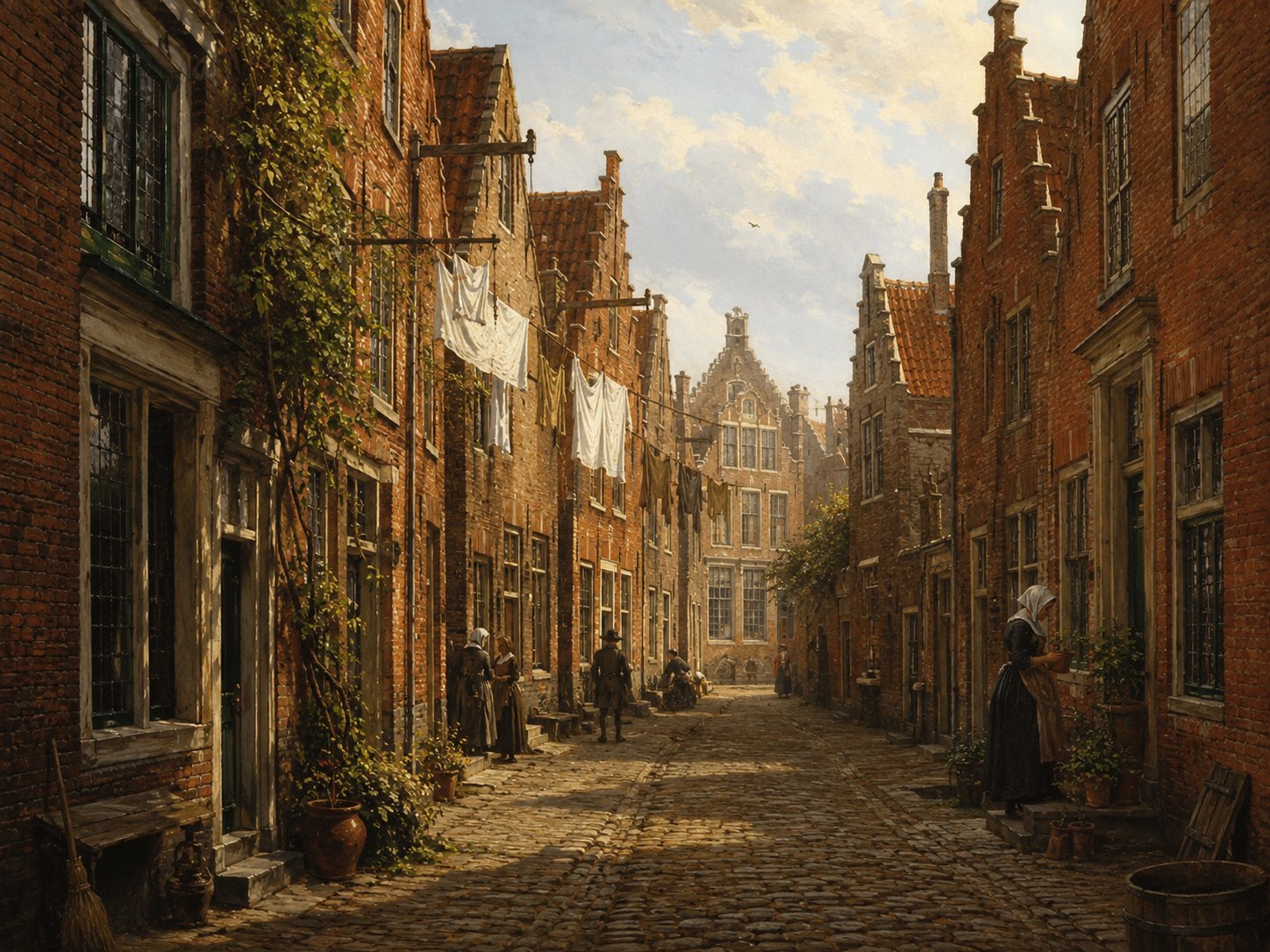
Korte Groenesteeg is the short branch of the larger Groenesteeg, a street whose name is thought to reflect greenery or gardens that once lined part of its route. It lies in the southern part of the old city, near the Uiterste Gracht. Beyond its name and general location, no independent account of the alley's own history has been found. Source: neerlandistiek.nl, ‘Leidse stegen’
Open 1 archive record
Deed of sale of a property located on the corner of Korte Groenesteeg and Uiterste Gracht.
View the official record
Korte HerensteegstreetShow detailsHide details
1 record
Spellings in the recordsKorte Herensteeg · Corte Herensteech
About this place
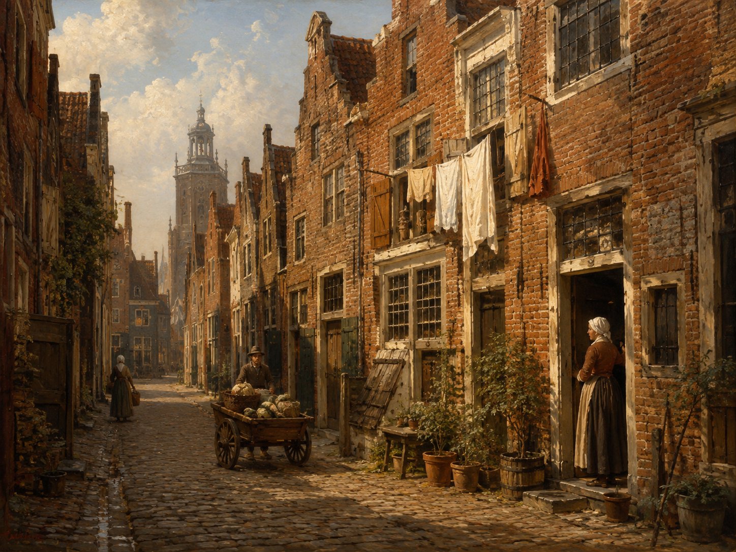
Korte Herensteeg is a short lane in Leiden; its name combines korte ('short') with herensteeg, an element meaning 'lane of the gentlemen/lords' also found in the nearby Herensteeg near Leiden's old town centre, following a common Leiden pattern of pairing a 'Lange' (long) and 'Korte' (short) name for adjoining stretches of the same route. The lane appears in Leiden's marriage registers in May 1617, when the banns of Henry Collet and Alice Thomas, both English migrants, were witnessed by John Crackston and by Isabel Chandler, born Isabel Chilton — daughter of James and Susanna Chilton and elder sister of Mayflower passenger Mary Chilton. Source: Historische Vereniging Oud Leiden, "Straten"; this collection's Leiden archival records
Open 1 archive record
Registration of the banns of Henry Collet, widower of Anne Harris, twiner from England, and Alice Thomas, widow of John Hooke, also from England, with John Crackstone and Thomas Arges, acquaintances of the groom, and Isabel Chandler (née Chilton), acquaintance of the bride, as witnesses.
View the official record
Korte SteegstreetShow detailsHide details
1 record
Spellings in the recordsKortsteech
About this place
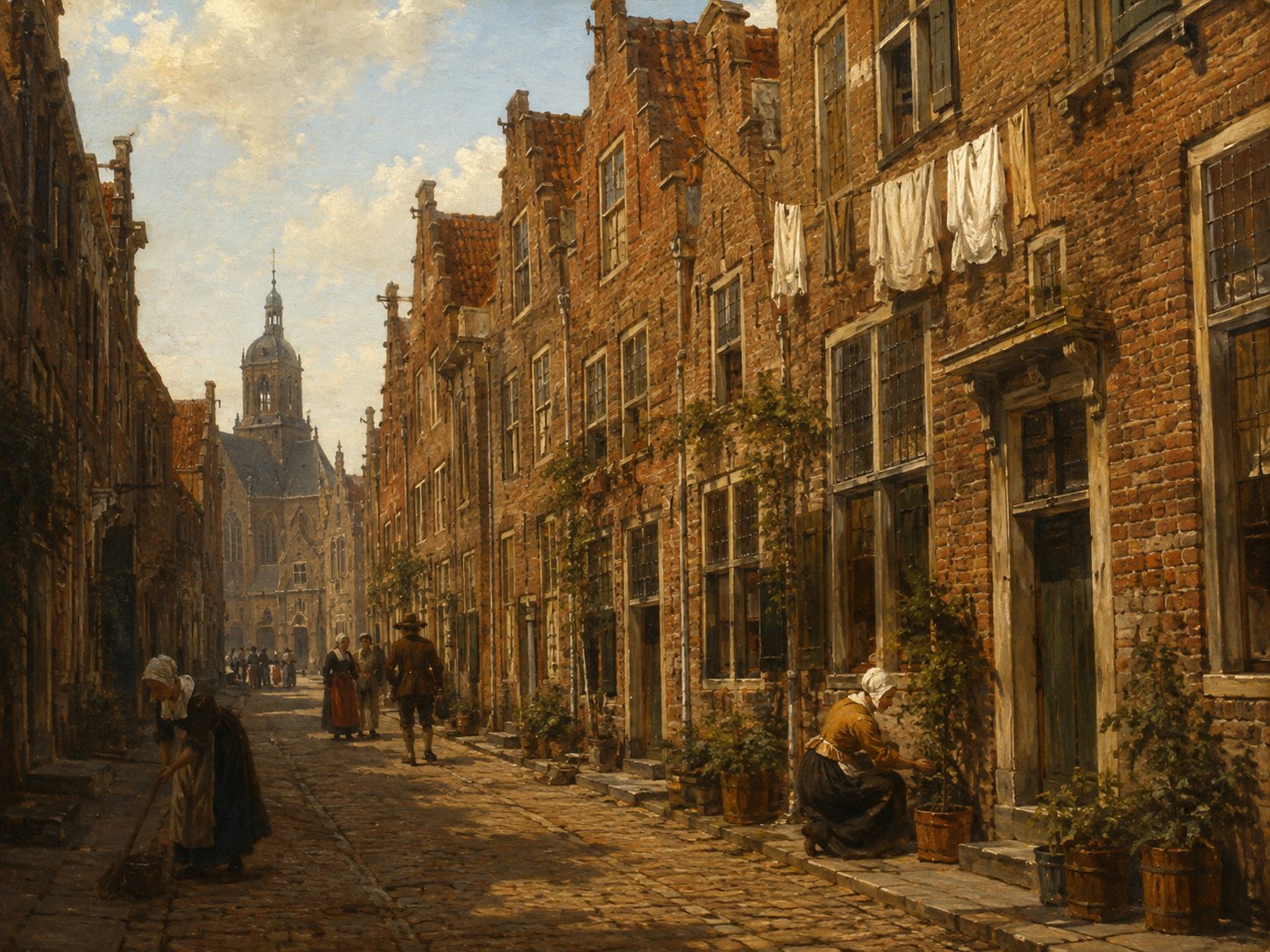
Korte Steeg, literally 'short lane,' is one of the many narrow historic stegen of Leiden's old town, its name simply denoting its short length. Leiden's historic street-name records show this 'Lange'/'Korte' (long/short) pairing used repeatedly across the city for adjoining segments of the same lane, as with the Lange and Korte Diefsteeg, Janvossensteeg and Vrouwensteeg. No further specific historical detail about this particular lane could be verified. Source: Historische Vereniging Oud Leiden, "Straten"
Open 1 archive record
Registration of the banns of Joseph Jennings, bachelor, fabric mender from London in England, and Sarah Talbot, widow of Samuel Lee, with Jan de Bort, brother of the groom, and Elizabeth Ainsworth, acquaintance of the bride, as witnesses.
View the official record
LangebrugstreetShow detailsHide details
5 records
Spellings in the recordsLangebrug · Langebrugge · Langge Brugge · langgebrugge · Langen Vollersgraftbrugge
About this place
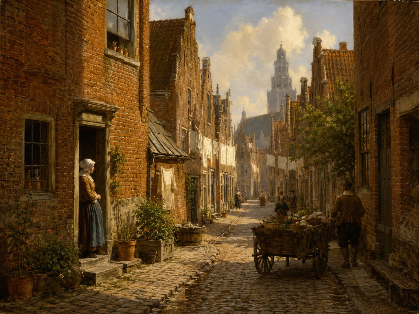
The Langebrug began as a stream known as the Vollersgracht, the ‘fullers' canal’, around which spinners, wool-combers, weavers, fullers and dyers settled from the late Middle Ages, making it one of the oldest parts of Leiden's street pattern. The waterway was later built over, giving the street its name, meaning ‘long bridge’. Its earlier form, Langen Vollersgraftbrugge, still recalls this origin in the city's cloth trade. Source: Leiden Medievalists Blog; municipal heritage document
Open 5 archive records
Statement made by James Chilton, about 63 years old, living in Leiden in an alley on the Langebrug, past the Diefsteeg, and Angel Chilton, about 22 years old, his daughter, at the request of the Leiden Remonstrant Brethren, concerning an outbreak of rioting involving some youngsters on Sunday April 28, 1619.
View the official recordOn 4 April 1622 Andrew Sharp, tobacco merchant, 40 years old and resident of Leiden, and Robert Peck, ribbon merchant and tobacco merchant, 37 years old and resident of Leiden, appear before Public Notary Jan Angillis of Leiden.
View the official recordOn 7 November 1622, Daniel Delinc, sworn broker, 40 years old, Nicholas Claverly, 35 years old, and Robert Talbot, 30 years old, appear before notary Jan Angillis in Leiden.
View the official recordDeposition of Thomas Inman, tobacco merchant, 35 years old, John Inman, 30 years old, John Summers, 26 years old, and Mr. John Leversedge, barber surgeon, before notary Pieter Claesz van Rijn of Leiden.
View the official recordOn 19 March 1623, Nicholas Claverly, 33 years old, John Summers, 26 years old and John Inman, 30 years old, appear before notary Pieter Claesz van Rijn of Leiden.
View the official record
Langegrachtcanal + streetShow detailsHide details
1 record
Spellings in the recordsLangegracht · Langegraft
About this place
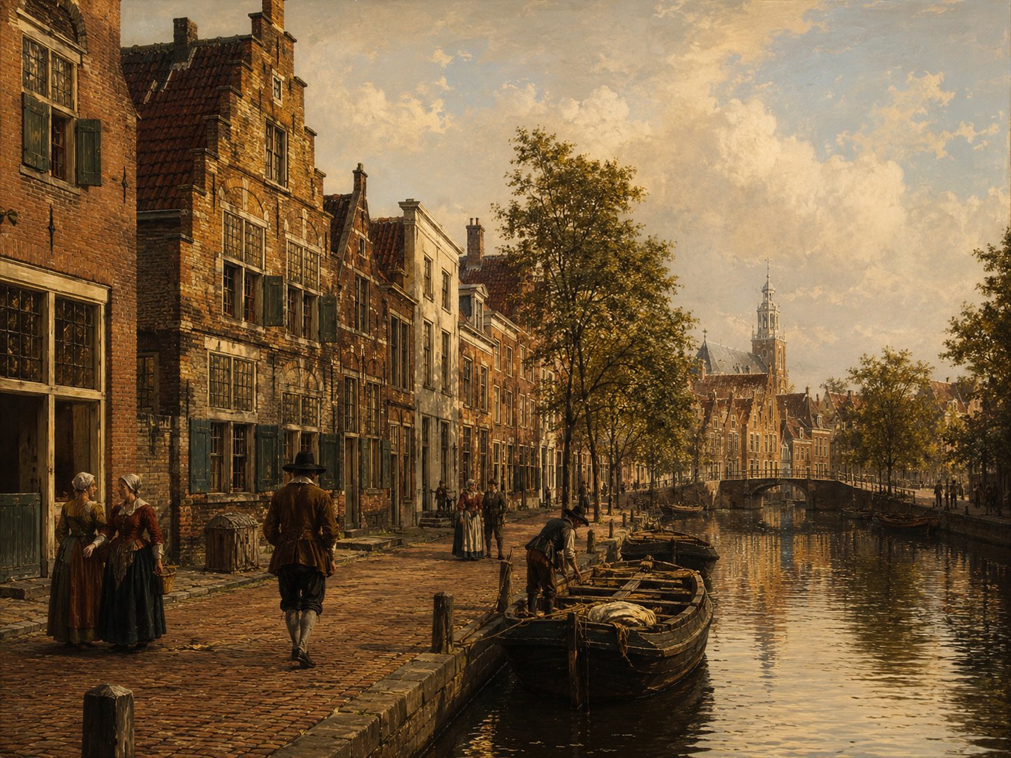
Langegracht, meaning ‘Long Canal’, was a waterway running along the northern edge of Leiden's historic centre, already appearing on seventeenth-century maps such as those of Blaeu. Originally lined with houses, it developed over the following centuries into a hub of industry, hosting distilleries, textile works and other manufacturing alongside its residential streets. Parts of the canal have since been filled in, and the route today forms part of the city's inner ring road. Source: jaapmoggre.nl
Open 1 archive record
Registration of the banns of Thomas Giffesoon, widower of Christina Moets, serge weaver, and Rebecca Thomas, widow of Daniel Fairfield, with Peter Woods, future brother-in-law of the groom, and Hester Thomas, sister of the bride, as witnesses.
View the official record
MarepoortgateShow detailsHide details
1 record
Spellings in the recordsMarepoort · Marenpoorte
About this place
Marepoort was the name given to a succession of three city gates that stood at the northern edge of Leiden, near the Mare waterway and the Maredorp district. The first gate, built in 1602, was created by converting a fourteenth-century watchtower known as the Maretoren, and the best-known and last Marepoort, designed by city architect Willem van der Helm and completed in 1666, was demolished in 1864; the Marepoortsbrug, the bridge that still crosses the Mare at this location, preserves the gate's name today. The gate's name also appears in the Leiden marriage registers: in May 1617 the banns of Samuel Fuller, a widowed serge weaver and future Mayflower passenger, and Bridget Lee were registered there, with her brother-in-law Samuel Lee and her mother Josephine Lee named as witnesses. Source: Marepoort, Dutch Wikipedia; this collection's Leiden archival records
Open 1 archive record
Registration of the banns of Samuel Fuller, widower of Agnes Carpenter, serge weaver from England, and Bridget Lee, spinster, from England, with Samuel Lee, future brother-in-law of the groom, and Josephine Lee, mother of the bride, as witnesses.
View the official record
MolensteegstreetShow detailsHide details
1 record
Spellings in the recordsMolensteeg · Molesteech
About this place
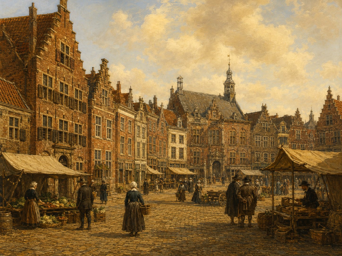
Molensteeg is a narrow lane in the historic center of Leiden, among the streets clustered around the Hooglandse Kerk. Its name indicates that a mill once stood on or near the lane, though the specific mill it commemorates is not established from available sources. A house on the lane with a plastered cordon gable, dated to the mid-seventeenth century, is registered today as a municipal monument, pointing to continuous occupation of the lane since at least the Dutch Golden Age. Source: Monumenten.nl, Molensteeg 4, Leiden
Open 1 archive record
Burial of John Jennings, who lived in Molensteeg.
View the official record
Nieuwe BoyenstraatstreetShow detailsHide details
2 records
Spellings in the recordsNieuwe Boyenstraet · Nieuwe Boysenstraet
About this place
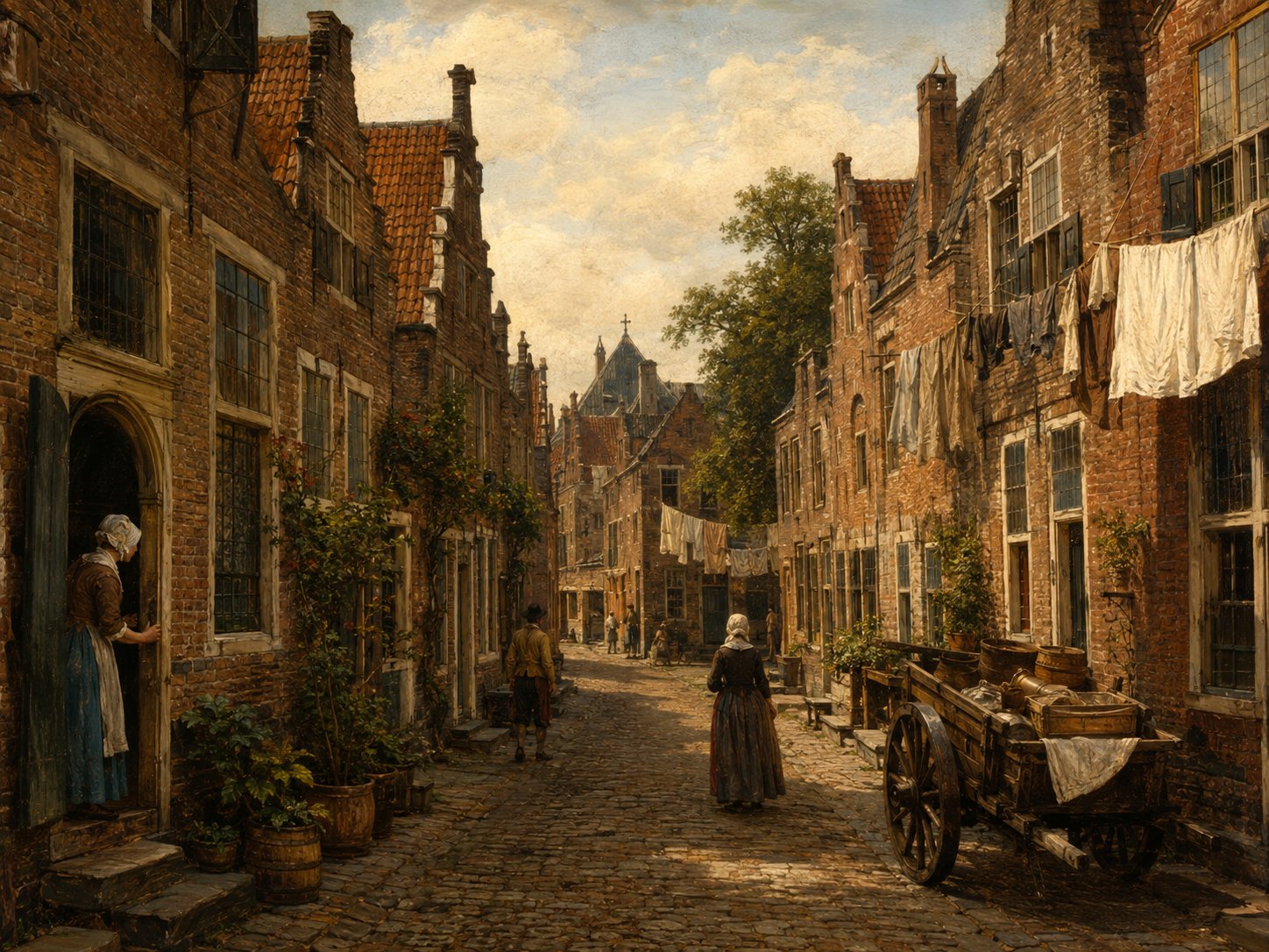
The Nieuwe Boyenstraat lay in the Zuid-Rapenburg district, south of Leiden's principal canal. Its prefix, ‘Nieuwe’ (‘new’), typically marked a street newly laid out or extended beyond an earlier stretch, a pattern common as Leiden's medieval streets lengthened with the growing town — though no separate, older ‘Boyenstraat’ is otherwise documented. The surviving record is largely property deeds, tracing houses there through the seventeenth century. Source: archive records
Open 2 archive records
In 1611, the house on the Nieuwe Boyenstraet south side, in the Zuid-Rapenburg district, has been sold by Grietgen Henricxdr, widow of Willem Willemsz., to John Keble, wool comber.
View the official recordIn 1611, the house on the Nieuwe Boyenstraet south side, in the Zuid-Rapenburg district, has been sold by Grietgen Henricxdr, widow of Willem Willemsz., to John Keble, wool comber.
View the official record
NieuwsteegstreetShow detailsHide details
3 records
Spellings in the recordsNieuwsteeg · Nieuwesteech · Nywesteech
About this place
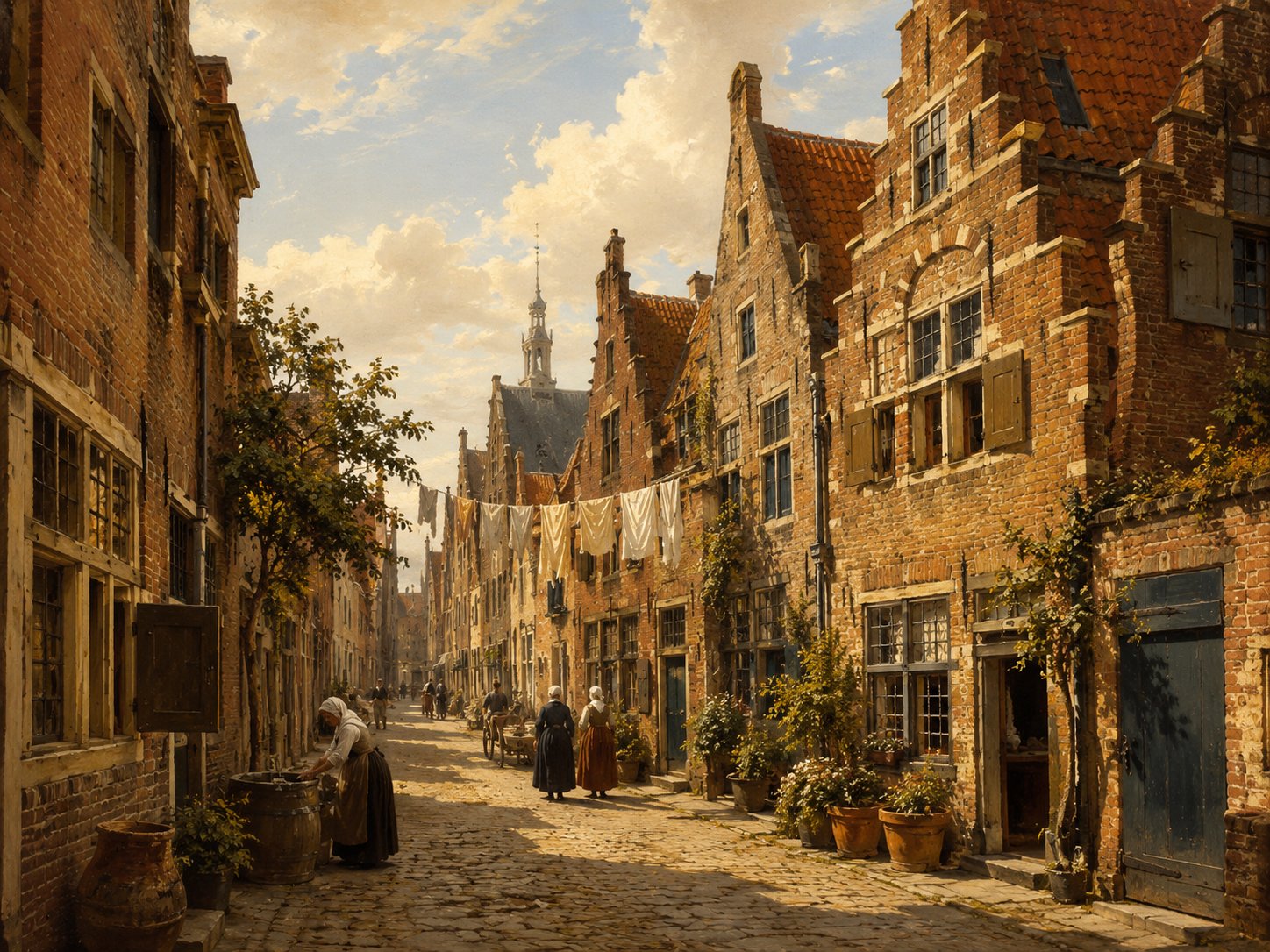
Nieuwsteeg, meaning ‘New Alley’, is a small street in Leiden's historic centre lined with several eighteenth-century houses, a number of which are now protected monuments. Local historical research has linked the street's medieval background to the presence of the Duitse Orde (Teutonic Order) in Leiden, though the full details of that connection go beyond what could be independently confirmed here. The street's long residential character continues today. Source: erfgoedleiden.nl; monumenten.nl
Open 3 archive records
Burial of a child of Ralph Thickins, who lives in Nieuwsteeg.
View the official recordLast will and testament of Thomas Brewer, living in “De Groene Poort” on the Pieterskerkhof in Leiden, and his wife Anne Brewer (née Offley).
View the official recordLast will and testament of Thomas Brewer, from England.
View the official record
NieuwstraatstreetShow detailsHide details
4 records
Spellings in the recordsNieuwstraat · Nieuwestrate · Nieuwe strate
About this place
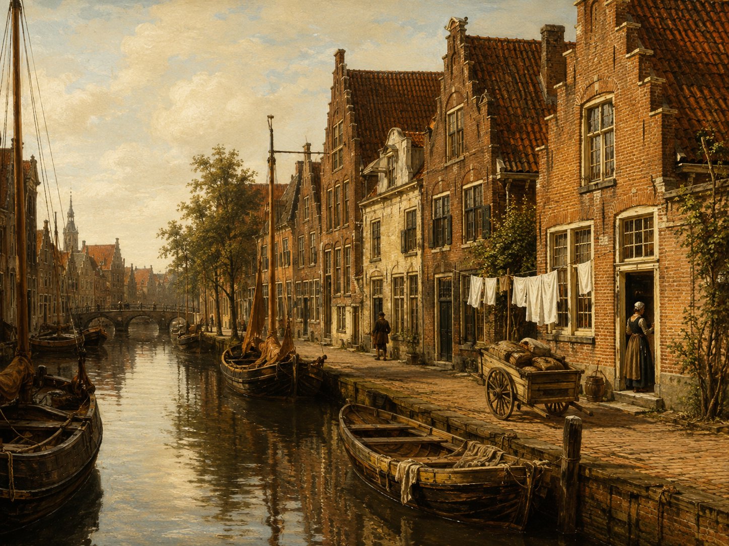
Nieuwstraat, literally 'New Street', is a street in Leiden's old city center that runs alongside the Hooglandse Kerk, whose main entrance stands at Nieuwstraat 20; a 'new street' name of this kind typically marked a thoroughfare laid out after a town's original medieval street plan, once its built-up area had begun to expand. The street appears directly in the property records of Leiden's English community: in April 1610 a newly built house on its south side, running along the Groenhazengracht, was sold to William Jepson, with William Robinson, an English leather worker, named as his neighbour and standing surety for the sale. Source: Visit Leiden, Hooglandse Kerk; this collection's Leiden archival records
Open 4 archive records
On 28 April 1610, Cornelis Gijsbrechtsz van Groenendael, carpenter, transfers to William Jepson, Englishman and carpenter, a newly-built house and ground on the south side of Nieuwstraat running along the Groenhazengracht.
View the official recordOn 28 April 1610, Cornelis Gijsbrechtsz van Groenendael, Englishman and carpenter, transfers to William Robinson, Englishman and leather worker, a newly-built house and ground on the south side of Nieuwstraat running along the Groenhazengracht.
View the official recordOn 28 April 1610, Cornelis Gijsbrechtsz van Groenendael, carpenter, transfers to William Jepson, Englishman and carpenter, a newly-built house and ground on the south side of Nieuwstraat running along the Groenhazengracht.
View the official recordOn 28 April 1610, Cornelis Gijsbrechtsz van Groenendael, carpenter, transfers to William Robinson, Englishman and leather worker, a newly-built house and ground on the south side of Nieuwstraat running along the Groenhazengracht.
View the official record
NonnenbrugbridgeShow detailsHide details
2 records
Spellings in the recordsNonnenbrug · Nonnenbrugge
About this place
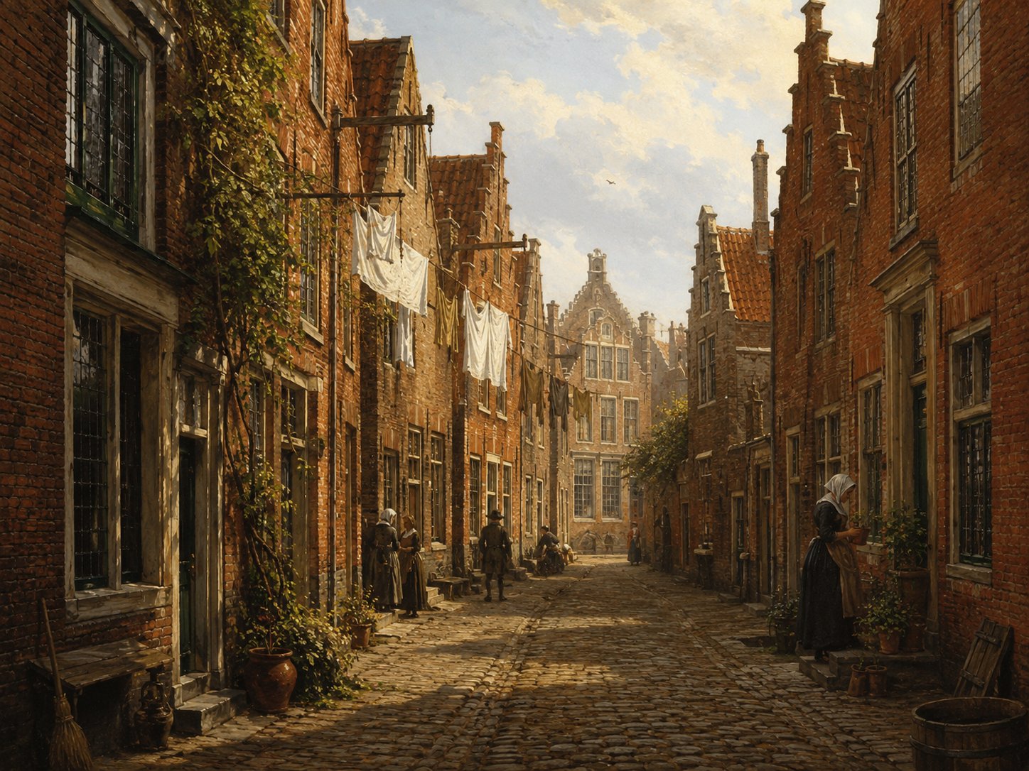
The Nonnenbrug crosses the Rapenburg canal near Leiden University's Academiegebouw, in the old university quarter. Its name, meaning 'Nuns' Bridge', recalls a convent that once stood in this part of the city, in an area that housed several religious houses before the Reformation reordered Leiden's institutions in the 1570s. The present bridge, a masonry structure of three arches built with sandstone blocks and ornamented with a wrought-iron anchor bearing the city's coat of arms, is registered as a national monument (rijksmonument). Source: Rijksmonumenten.nl; Rijksdienst voor het Cultureel Erfgoed beeldbank, "Rapenburg met de Nonnenbrug en het Academiegebouw"
Open 2 archive records
Testament of Nicholas Hooke and Cathalina Springers resident in Boskoop drawn up by Notary Jacob Jansz Verweij, dated 13 March 1618.
View the official recordBurial of a child of Robert Peck, who lives in Nonnenbrug.
View the official record
NonnensteegstreetShow detailsHide details
15 records
Spellings in the recordsNonnensteeg · Nonnensteech · Nonnesteech · Nonnestege
About this place
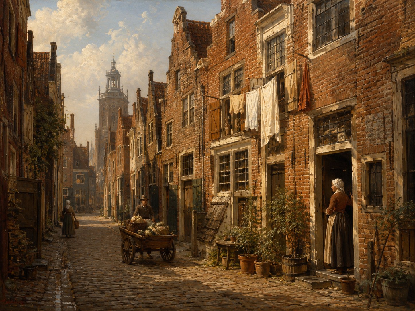
The Nonnensteeg lies in Leiden's Academiewijk, the city's last medieval extension, an area where, once earlier expansions had filled with housing, several religious houses, including convents, came to be established. The street's name, meaning ‘nuns' alley’, appears to preserve the memory of one such community. It later became part of the university quarter that grew up here after the Reformation. Source: municipal Leiden Binnenstad II heritage document
Open 15 archive records
Gillis Elsevier has bought and divided a house on the Nonnensteeg from the house on the Rapenburg.
View the official recordA house on Rapenburg in the district Zuid-Rapenburg is the property of Gillis Elsevier.
View the official recordOn 9 August 1610, Gillis Elsevier transfers to Cornelis Stevensz van Suylen, carpenter, a building plot in Leiden in an ally coming out on the south side of the Nonnensteeg.
View the official recordOn the 3rd of December 1610 Gillis Elsevier transfers to Phineas Edwards, hosier, an unbuilt yard in an alley starting on the south side of the Nonnensteeg.
View the official recordConveyance deed for a newly-built house and grounds in Leiden in an alley issuing on the south side of the Nonnensteeg from Cornelis Gijsbertsz van Groenendael, carpenter, to Robert Cushman, wool comber.
View the official recordA house on Rapenburg in the district Zuid-Rapenburg is the property of Gillis Elsevier.
View the official recordConveyance deed dated 19 April 1612 of a newly-built house and grounds in an ally coming out on the south side of the Nonnensteeg from Cornelis Gijsbertsz van Groenendael, carpenter, to Robert Cushman, wool comber.
View the official recordGillis Elsevier has bought and divided a house on the Nonnensteeg from the house on the Rapenburg.
View the official recordOn 9 June 1614, Phineas Edwards, hosier, transfers to Henry Richards, Englishman from Sandwich, a newly-built house and ground in an ally coming out on the south side of the Nonnensteeg.
View the official recordBurial of a child of Robert Cushman, who lives in Nonnensteeg.
View the official recordRegistration of the banns of Robert Cushman, widower of Sarah Cushman, wool comber from Canterbury, England, and Mary Singleton, widow of Thomas Singleton, from Sandwich, England, with John Keble, acquaintance of the groom, and Katherine Carver (née White), acquaintance of the bride, as witnesses.
View the official recordA house on Rapenburg in the district Zuid-Rapenburg is the property of Gillis Elsevier.
View the official recordOn 19 February 1621, Martijn Obeyn, baker, and Nicolas du Pon transfer on behalf of Robert Cushman, wool comber and abroad at the time, to Jean de Latere, wool comber, a house and ground in an alley coming out on the Nonnensteeg in Leiden.
View the official recordGillis Elsevier has bought and divided a house on the Nonnensteeg from the house on the Rapenburg.
View the official recordGillis Elsevier has bought and divided a house on the Nonnensteeg from the house on the Rapenburg.
View the official record
Oude Singelcanal + streetShow detailsHide details
1 record
Spellings in the recordsOude Singel
About this place
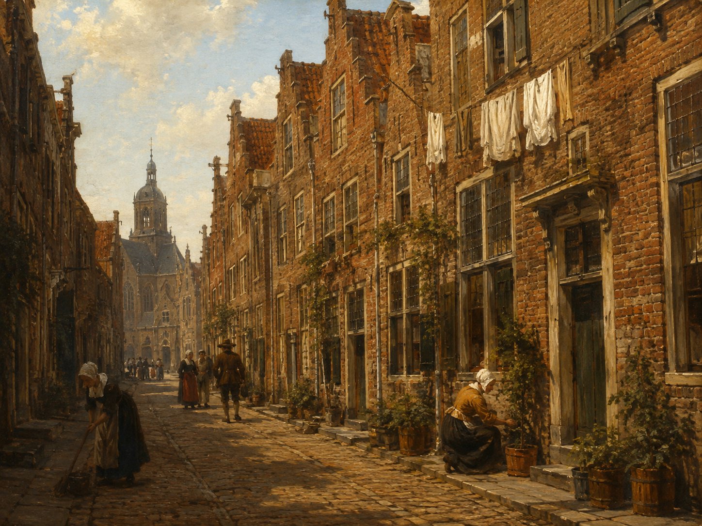
Oude Singel, meaning 'Old Singel', began as the moat and defensive waterway marking the edge of Leiden after the city's expansion of 1611 — on some maps it is also labelled Oude Vest, the two names referring to the same waterway in the northern old town. It gained the name 'old' once later expansions, in 1644 and 1659, pushed the city boundary further out and created newer singels beyond it, and it lay in a relatively new, developing quarter of the city in the Pilgrims' time. Source: verdwenengebouwen.nl
Open 1 archive record
Sale concering a new house on Oude Singel between Mare and Rijnsburgerpoort on the corner of the Westdwarsgracht
View the official record
ParadijssteegstreetShow detailsHide details
2 records
Spellings in the recordsParadijssteeg · Paradijs stege
About this place
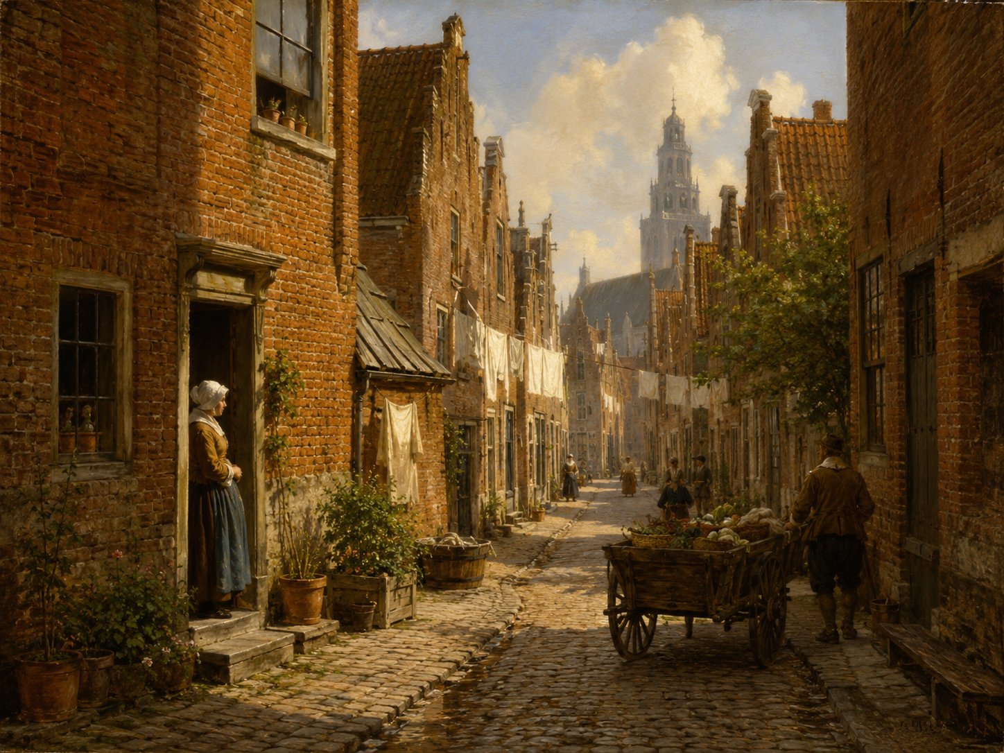
Paradijssteeg is a narrow lane in Leiden's old city center, near the Hooglandse Kerk, previously known as the Hooglandsekerksteeg before it came to be called Paradijssteeg, though the exact date and reason for the change are not established from available sources. The lane also appears in Leiden's property records: in March 1612 William Bradford, future Mayflower passenger and Plymouth Colony governor, purchased a newly built house on the Achtergracht that stood between the Paradijssteeg and the Bouwenlouwensteeg, with the baker Roger Wilson standing surety for the sale. Source: historischleideninkaart.nl, Straatnamen; this collection's Leiden archival records
Open 2 archive records
On 2 March 1612 Laurys van Dale, mason, transfers to William Bradford, Englishman, a newly-built house and ground on the north side of the Achtergracht running along Marendorp between the Paradijssteeg and the Bouwenlouwensteeg in Leiden.
View the official recordTransfer of title by William Bradford, serge wever, to Jan des Obrys, skinner, of a house on the northern side of the Achtergracht between the Paradijssteeg and the Bouwenlouwensteeg in Leiden.
View the official record
PieterskerkhofchurchyardShow detailsHide details
33 records
Spellings in the recordsPieterskerkhof · Pieterskerckhoff · Pieters Kerckhoff · Pieterkerckhoff · Pieters kerckhoff
About this place
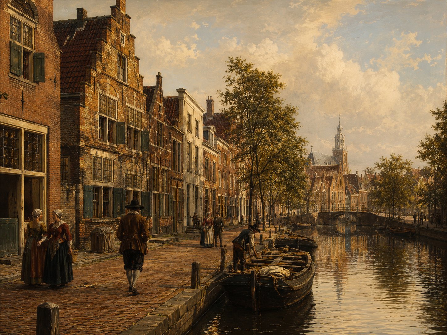
Pieterskerkhof is the square and former churchyard surrounding the Pieterskerk, the large Gothic church begun in 1390 on the site of an earlier chapel and completed roughly 180 years later. From 1609 this square lay at the heart of the English Separatist congregation that had settled in Leiden under its pastor, John Robinson, who lived in one of the small houses standing against the church; Robinson died in 1625 and was buried in the church's baptistry, which today houses a small exhibition on the congregation's years in Leiden. The square also housed the Brewster family directly: Jonathan Brewster, a ribbon maker, lived at De Groene Poort on the Pieterskerkhof, and in December 1617 his business agreement there with Thomas Brewer was witnessed by his father, the printer William Brewster, together with John Carver and Robert Cushman. Source: Pieterskerk, Leiden, English Wikipedia; Pieterskerk.com, Pilgrims exhibition & history; this collection's Leiden archival records
Open 33 archive records
Jean de Lalaing has in 1606 two houses in the Pieterskerkhof.
View the official recordOn 27 January 1611, Jean de Lalaing transfers to John Robinson, pastor of the English Church in Leiden, William Jepson, Henry Wood and Jane White (assisted by her guardian Nicolas White) a house and ground on the Pieterskerkhof by the Kloksteeg in Leiden, known as the Groene Poort.
View the official recordThe house on the west side of an ally on the Pieterskerkhof (district of Zevenhuizen) is sold on 14 March 1611 by Jean de Lalaing to John Robinson, pastor of the English Church, William Jepson, Henry Wood, and Ralph Thickins, married to Jane White.
View the official recordOn 5 May 1611, Jean de Lalaing transfers to John Robinson, pastor of the English Church in Leiden, William Jepson, Henry Wood and Ralph Thickins a house and grounds known as the De Groene Poort on the south side of the Pieterskerkhof near the Kloksteeg in Leiden.
View the official recordSale by Jean de Lalaing of the house De Groene Poort on the south side of the Pieterskerkhof near the Kloksteeg in Leiden to John Robinson, pastor of the English Church in Leiden, William Jepson, Henry Wood and Ralph Thickins, husband of Jane White, each for a quarter share.
View the official recordBurial of a child of John Allerton, who lives in Pieterskerkhof.
View the official recordBurial of the child of Thomas Blossom, who lives in Pieterskerkhof.
View the official recordOn the 17th of June 1617 Jean de Lalaing transfers to Thomas Brewer, Englishman, a house and yard on the south side of the Pieterskerkhof (St.
View the official recordConveyance deed dated 17 June 1617 for a house and grounds on de south side of the Pieterskerkhof called ’t Groenehuys from Jean de Lalaing to Thomas Brewer, Englishman.
View the official recordLast will and testament of Thomas Brewer, living in “De Groene Poort” on the Pieterskerkhof in Leiden, and his wife Anne Brewer (née Offley).
View the official recordAgreement between Jonathan Brewster, ribbon maker, living in “De Groene Poort” on the Pieterskerkhof in Leiden, and Thomas Brewer, living in the Kloksteeg in Leiden, to go into business together.
View the official recordBurial of a child of John Robinson, who lives in Pieterskerkhof.
View the official recordBurial of a child of Edmund Jessop, who lives in Pieterskerkhof.
View the official recordBurial of a child of Thomas Brewer, who lives in Pieterskerkhof.
View the official recordBurial of a son of Thomas Brewer, who lives in Pieterskerkhof.
View the official recordBurial of the housewife of Thomas Brewer, who lives in Pieterskerkhof.
View the official recordBurial of a child of John Reynolds, who lives in Pieterskerkhof.
View the official recordBurial of the housewife of John Reynolds, who lives in Pieterskerkhof.
View the official recordBurial of a child of Isaac Allerton, who lives in Pieterskerkhof.
View the official recordBurial of a child of the English preacher John Robinson, who lives in Pieterskerkhof.
View the official recordDeed dated 1 June 1621 in which Ralph Thickins, Englishman, mirror maker of Amsterdam, gives power of attorney to John Robinson, pastor of Leiden, to sell in his name a fourth part of a house and grounds in the Pieterskerkhof.
View the official recordThomas Brewer, English gentleman, and his wife, Machieu Brewer are entered in the head tax register of 1622 and live in the Pieterskerkhof in the district of Zevenhuizen.
View the official recordAlice Rogers, widow of Thomas Rogers, and her children Elizabeth and Margaret are entered into the Head Tax Register of 1622 as poor people.
View the official recordHenry Wood authorises Henry Jepson to sell a quarter part of De Groene Poort, a house on the southside of the Pieterskerkhof.
View the official recordThe house on the west side of an ally on the Pieterskerkhof (district of Zevenhuizen) is sold on 14 March 1611 by Jean de Lalaing to John Robinson, pastor of the English Church, William Jepson, Henry Wood, and Ralph Thickins, married to Jane White.
View the official recordThomas Brewer has instructed notary Jan van Kuyc on 22 November 1629 to sell publicly his house and grounds called ’t Groenhuys on the south side of the Pieterskerkhof.
View the official recordOn 15 July 1630, notary Jan van Kuyck of Leiden appears before aldermen van Leiden.
View the official recordA house on Pieterskerkhof in the Zevenhuizen district has been the property of Thomas Brewer.
View the official recordThe house on the west side of an ally on the Pieterskerkhof (district of Zevenhuizen) is sold on 14 March 1611 by Jean de Lalaing to John Robinson, pastor of the English Church, William Jepson, Henry Wood, and Ralph Thickins, married to Jane White.
View the official recordConveyance deed for some houses on the south side of the Pieterskerkhof called the Groenepoort from the guardians, Johan van Leeuwen and John Jennings, of the orphan child of William Jepson, carpenter, and Rosamond Jepson (née Horsfield) to Christopher Jans Ellis, woodworker.
View the official recordSale by Pieter Gerritsz van der Speck of a lot located at Groene Poort, South Side of Pieterskerkhof, to Christopher Jans Ellis on 10 May 1640.
View the official recordSale by Christopher Jans Ellis of part of a lot located at Groene Poort, South Side of Pieterskerkhof, to Pieter Gerritsz van der Speck on 10 May 1640.
View the official recordA house on Pieterskerkhof in the Zevenhuizen district has been the property of Thomas Brewer.
View the official record
RaamsteegstreetShow detailsHide details
1 record
Spellings in the recordsRaamsteeg · Raemsteech
About this place
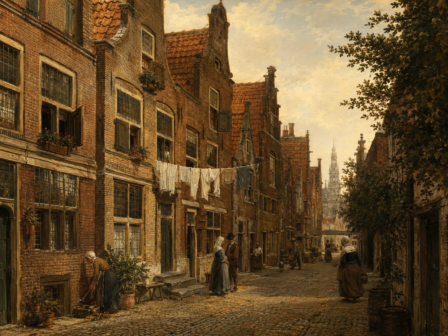
The Raamsteeg is a short alley in Leiden's old town, near the Sint Jacobsgracht in what later became the university quarter. No independent history of the street's name survives, and like many of Leiden's narrow steegjes it is known mainly through property and tax records. In the 1620s it was home to at least one tavern, a reminder of the small trades and lodgings once packed into these lanes. Source: cultureelerfgoed.nl monumentenregister
Open 1 archive record
Statement by George Fergus, about 38 years old, cobbler, living in Leiden, at the request of Nicholas Claverly, tobacco pipe maker in Leiden, concerning a murder accusation.
View the official record
RijnsburgerpoortgateShow detailsHide details
4 records
Spellings in the recordsRijnsburgerpoort · Reynsburgerpoort · Reynsburgerpoorte
About this place
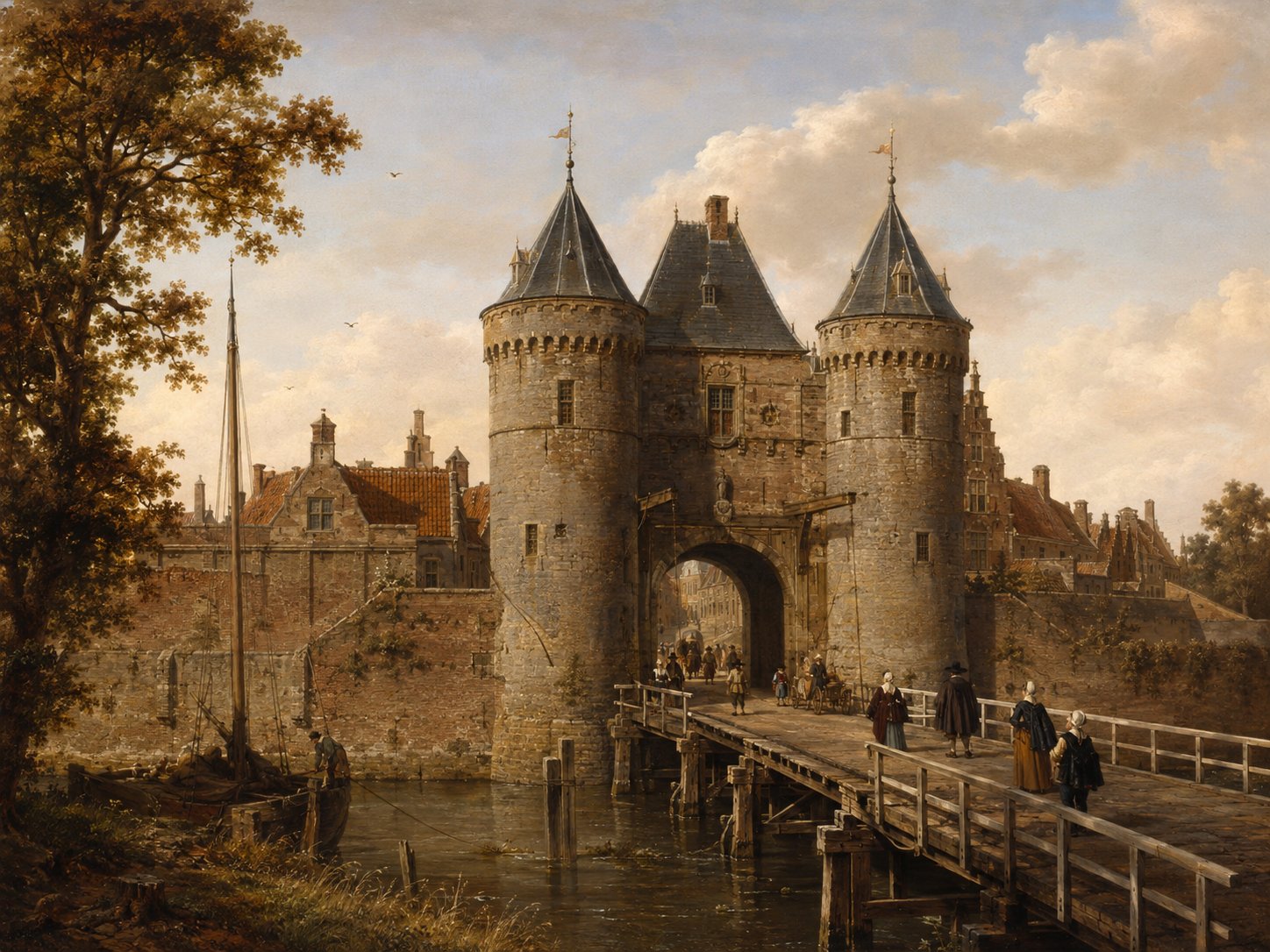
Rijnsburgerpoort was one of Leiden's historic city gates, on the road leading northwest to the village of Rijnsburg. An earlier gate on roughly this line, the Lopsenpoort, was renamed after that road as early as 1396 and is documented from 1412–13. A new gate was built here as part of the 1611 city expansion, rebuilt in stone in 1632 to a design by Jan Jacobsz van Banchem, and finally demolished in 1867 as the city modernised. Source: verdwenengebouwen.nl; Museum Boijmans Van Beuningen
Open 4 archive records
On 25 June 1615, the Leiden City Council transfers to John Allerton, carpenter, a building plot in the expansion of the city between the Mare and the Rijnsburgerpoort.
View the official recordSale concering a new house on Oude Singel between Mare and Rijnsburgerpoort on the corner of the Westdwarsgracht
View the official recordRegistration of the banns of Thomas Nash, widower of Margareth Porter, and Margaret Stuart, widow of Simon Stuart, with John Keble and Isaac Marcus, acquaintances of the groom, and Elizabeth White, aunt of the bride, and Francis Jepson (?), acquaintance of the bride, as witnesses.
View the official recordRegistration of the banns of Henry Parkins, widower of Maria Willemsdr, brewer's assistant from Yarmouth in England, and Margary Woodcock, spinster, from England, with John Keble and Thomas Nash, acquaintances of the groom, and Rose Jennings, acquaintance of the bride, and Anne Spooner as witnesses.
View the official record
ScheistraatstreetShow detailsHide details
1 record
Spellings in the recordsScheistraat · Scheystrate
About this place
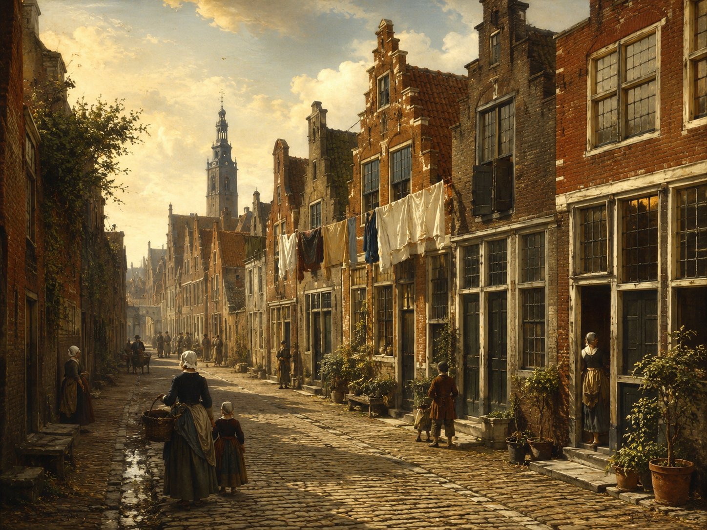
Scheistraat is a street in the historic center of Leiden (recorded today as the Lange Scheistraat); the name most plausibly derives from the Dutch verb scheiden, 'to divide' or 'to separate' — a scheiweg or scheistraat traditionally denoted a road marking a boundary or a point where routes diverged. Beyond this general etymological pattern and the street's documented existence in municipal archives and historical photograph collections, no firmly established account of the specific boundary the name once referred to could be verified. Source: Van Dale Groot woordenboek der Nederlandse taal via ensie.nl; Erfgoed Leiden en Omstreken beeldarchief
Open 1 archive record
Registration of the banns Michael Hardy, bachelor, flannel weaver from Sutberry in England, and Mary Hardy, spinster, from Colchester in England, with Francois le Leu, acquaintance of the groom, and Anne Spooner, acquaintance of the bride, as witnesses.
View the official record
Sint-CatharijnensteegstreetShow detailsHide details
1 record
Spellings in the recordsSint Catherijnensteeg · Sinte Catherijnen stege
About this place
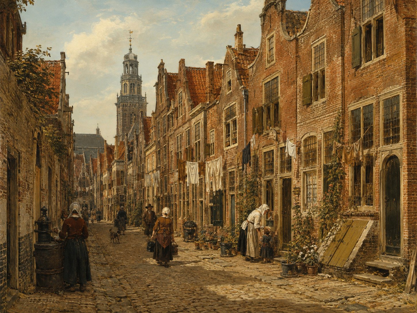
The name Sint-Catharijnensteeg (today more commonly rendered Catharinasteeg) commemorates the Sint-Catharinagasthuis, one of Leiden's oldest charitable institutions, first recorded before 1275 on the Breestraat, where it served as a hospice for poor foreigners and as a nursing house for the city's sick before being demolished in 1872 to make way for the Stadsgehoorzaal. A pedestrian lane bearing the Catharina name — together with the adjoining Catharinahof and Catharinabrug — was created across part of the former gasthuis site in 2016 as part of the redevelopment of the Aalmarkt shopping quarter, deliberately reviving the historic association with the vanished almshouse. Source: Wikipedia (Sint-Catharinagasthuis (Leiden)); RAP Leiden
Open 1 archive record
On 10 October 1612, Bartholomew Smith transfers to John Carpenter, serge merchant, a house and ground in the Sint Catherijnensteeg in Leiden.
View the official record
SonneveltsteegstreetShow detailsHide details
4 records
Spellings in the recordsSonneveltsteeg · Sonneveltsteech · Sonneveltstege · Zonneveltsteech
About this place
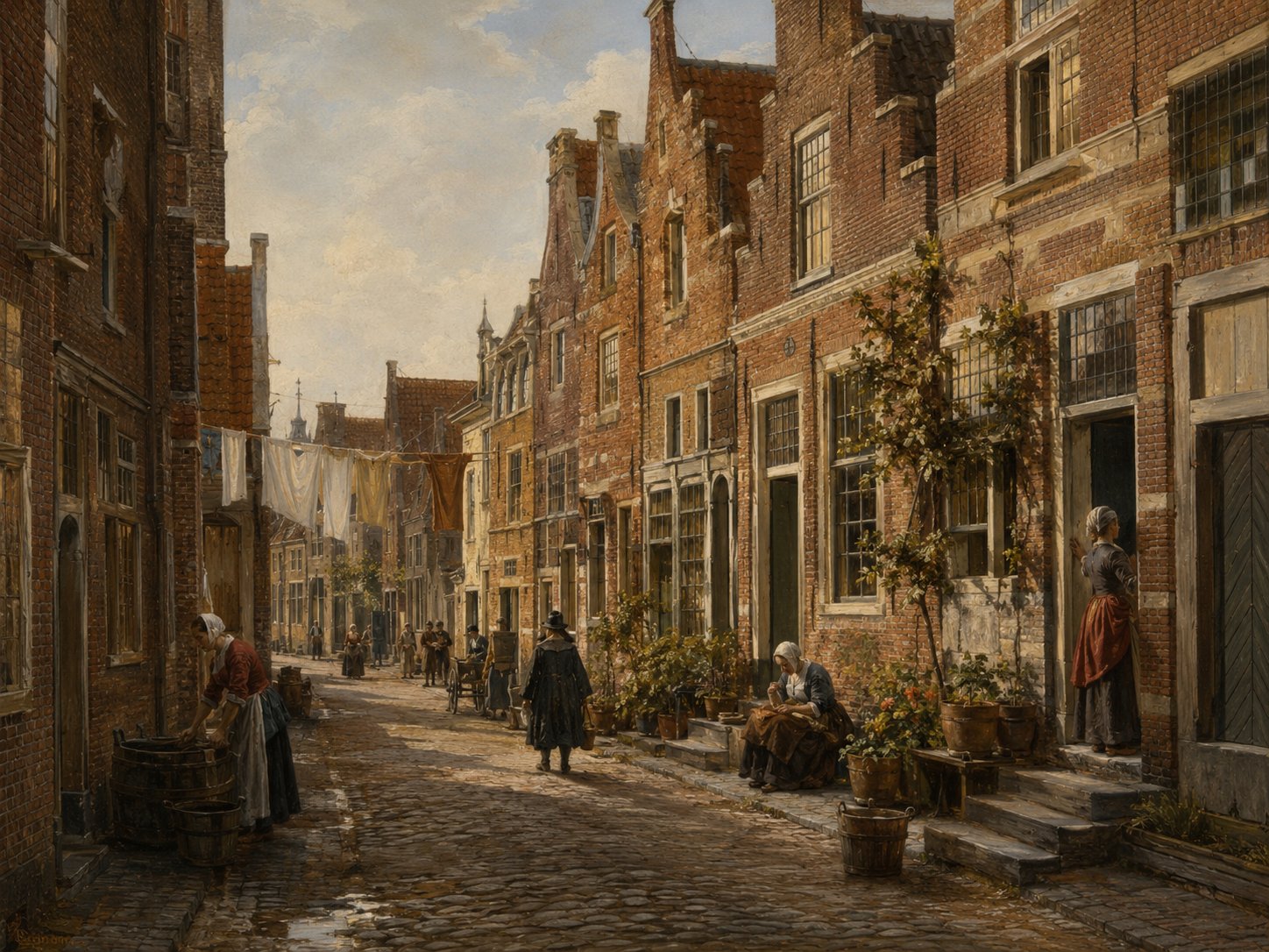
The Sonneveltsteeg was a small alley in old Leiden, close to the Langebrug. Its historic spellings, including Sonneveltsteech and Zonneveltsteech, suggest — as with many of the city's minor lanes — that it took its name from an early resident or landowner called Sonnevelt, though no independent record confirms this. It appears in notarial and church records of the 1610s and 1620s. Source: archive records
Open 4 archive records
On 29 November 1614, Hendrick Jansz, serge weaver and clerk to Magistrate Loth Huygensz Gael appears before Notary Adriaen Claesz Paedts of Leiden.
View the official recordRegistration of the banns of Stephen Butterfield, bachelor, serge weaver from Norwich in England, and Rose Singer, spinster, from Yarmouth in England, with Abraham Gray, acquaintance of the groom, and Sarah Willett, acquaintance of the bride, as witnesses.
View the official recordDeposition of Thomas Inman, tobacco merchant, 35 years old, John Inman, 30 years old, John Summers, 26 years old, and Mr. John Leversedge, barber surgeon, before notary Pieter Claesz van Rijn of Leiden.
View the official recordConveyance deed dated 4 August 1636 of a house and grounds on the south side of the Sonneveltsteeg in Leiden from Christopher Jans Ellis, woodworker, to merchant Andrew Perkins.
View the official record
Stinksteeg / William BrewstersteegstreetShow detailsHide details
4 records
Spellings in the recordsStinksteeg · Stincksteech · Stinckstege
About this place
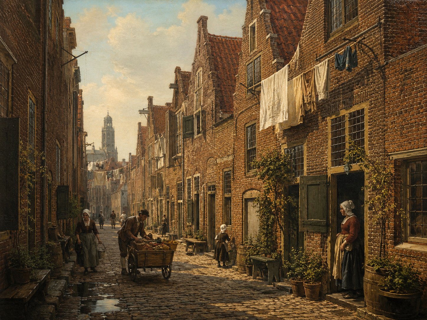
Stinksteeg, literally ‘Stink Alley’, was one of several Leiden lanes named for the insalubrious conditions of a crowded medieval quarter, in the same pattern as nearby Donkersteeg and Sliksteeg. It was later renamed William Brewstersteeg in honour of the Pilgrim printer William Brewster, who lived and ran his clandestine Pilgrim Press there in the 1610s. A commemorative plaque, placed in 1955, still marks the site today. Source: neerlandistiek.nl; visitleiden.nl
Open 4 archive records
Burial of a child of William Brewster, who lives in Stinksteeg.
View the official recordBurial of a child of William Brewster, who lives near Stinksteeg.
View the official recordWitness statement by William Brewster, Englishman, about 42, Mary Brewster, wife of William, about 40, and Jonathan Brewster, their son, about 16, at the request of Bernard Ross from Amsterdam about damaged cloth.
View the official recordOn 29 November 1614, Hendrick Jansz, serge weaver and clerk to Magistrate Loth Huygensz Gael appears before Notary Adriaen Claesz Paedts of Leiden.
View the official record
Uiterstegrachtcanal + streetShow detailsHide details
8 records
Spellings in the recordsUiterstegracht · Uiterste Gracht · Uytterste graft · Uuterstegraft · Uyterstegraft · Uyterstegrafte · Uytterstegrafte
About this place
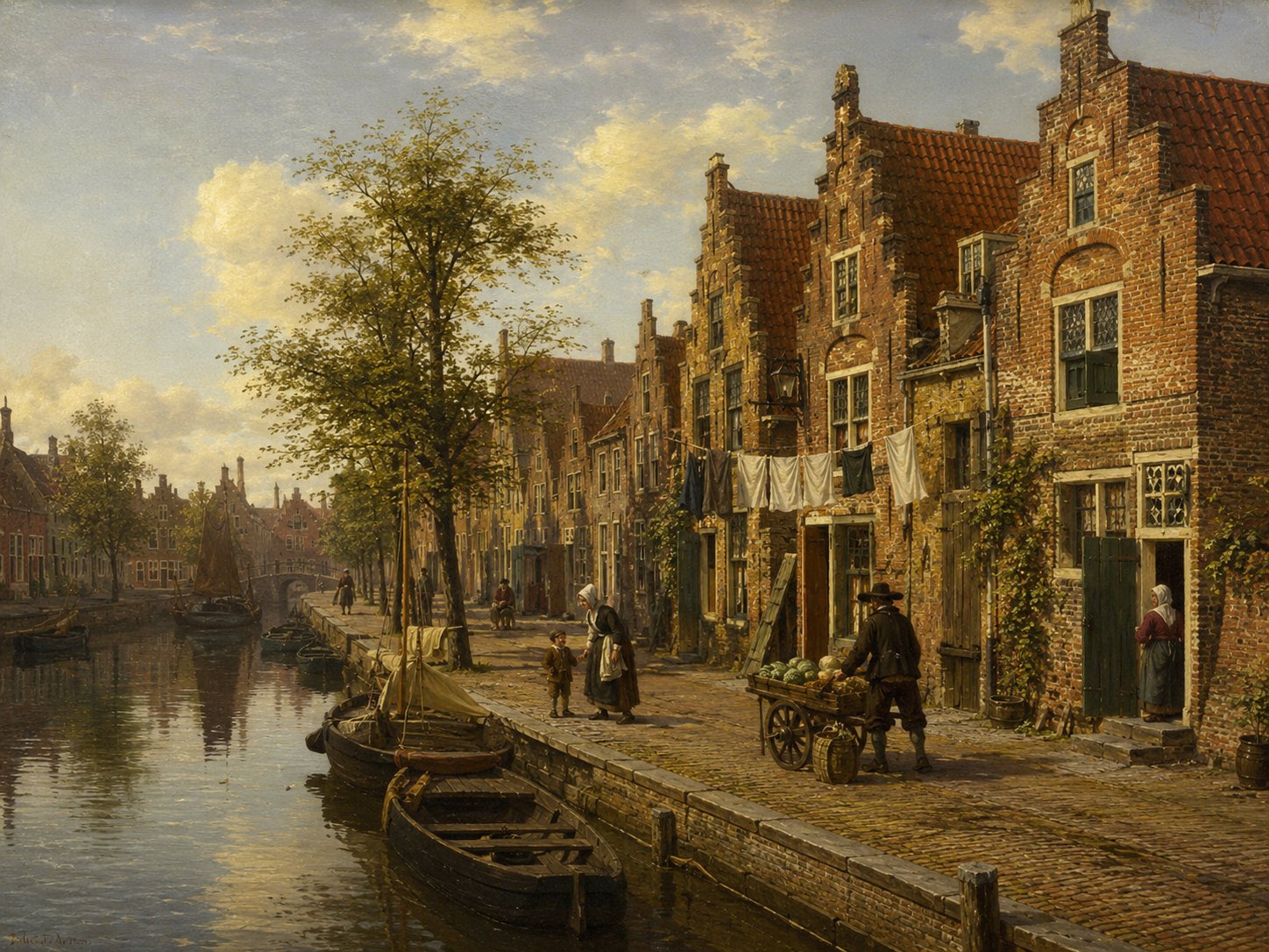
The Uiterstegracht was a canal in Leiden connecting to the Oude Rijn, its name built on the Dutch uiterste ('outermost' or 'furthest'), reflecting its position toward the edge of the built-up town; it was filled in (gedempt) in 1959 and survives today only as a street name. The canal surfaces repeatedly in the Leiden affairs of William Brewster's circle: in 1613 the serge weaver Roger Wilson entrusted the settlement of his estate here to Henry Wood and William Jepson, the same two men who, elsewhere in the city's records, purchased a house on the Pieterskerkhof together with Brewster's pastor, John Robinson. Source: jaapmoggre.nl, gedempte grachten van Leiden; Erfgoed Leiden en Omstreken; this collection's Leiden archival records
Open 8 archive records
Sale by Barent Dorman, baize merchant, of a house on the western side of the Uiterstegracht in Leiden to Roger Wilson.
View the official recordTestamentary disposition by Roger Wilson, serge weaver, in which he stipulates that Henry Wood and William Jepson of Leiden have to settle his estate as follows: Roger Wilson’s house at the Uiterstegracht in Leyden, and everything in it, must be sold and all outstanding claims cashed.
View the official recordTransfer by Roger Wilson to Richard Masterson of the title to a house on the west side of the Uiterstegracht in Leiden.
View the official recordOn 2 January 1615, Roger Wilson, Englishman, transfers to Richard Masterson, Englishman, a house and ground on the west side of the Uiterstegracht.
View the official recordBurial of a child of William White, who lives in Uiterstegracht.
View the official recordInventory dated 15 February 1618 of the chattels of Nicholas Claverly at the house of Omaer Claesz, mason, on the Uiterstegracht in Leiden.
View the official recordStatement by John Wallis, about 37 years old, cobbler, living in Leiden, at the request of Nicholas Claverly, tobacco pipe maker in Leiden, about defamation of character.
View the official recordDeed of sale of a property located on the corner of Korte Groenesteeg and Uiterste Gracht.
View the official record
Vestecity edgeShow detailsHide details
1 record
Spellings in the recordsop de Veste
About this place
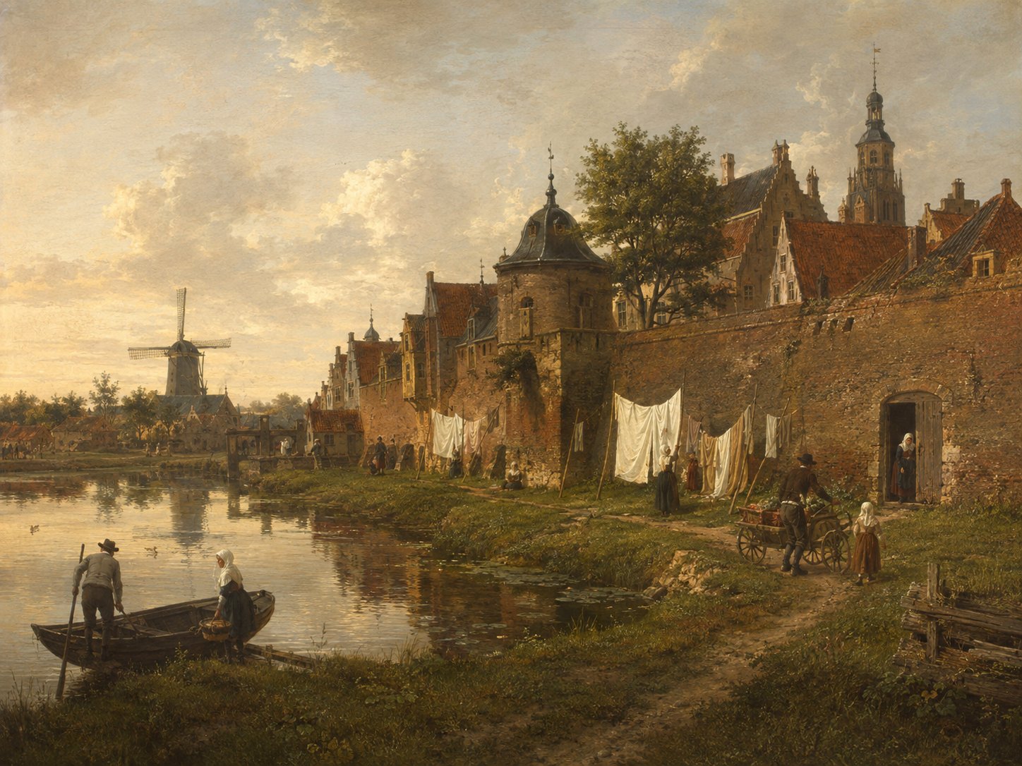
'Veste' refers generically to Leiden's town ramparts and moats, the defensive ring that grew in stages from simple protective waterways around the settlement near 1200 to the full bastioned fortifications completed after the city's expansions of 1611 and 1659–1681. It denotes a defensive system and surrounding area rather than a single street, and it was 'op de Veste' that the Leiden marriage registers place the banns of Samuel Fuller, a widowed serge weaver and future Mayflower passenger, and Bridget Lee in May 1617, witnessed by her brother-in-law Samuel Lee and her mother Josephine Lee. Source: Singelpark.nl (historie); this collection's Leiden archival records
Open 1 archive record
Registration of the banns of Samuel Fuller, widower of Agnes Carpenter, serge weaver from England, and Bridget Lee, spinster, from England, with Samuel Lee, future brother-in-law of the groom, and Josephine Lee, mother of the bride, as witnesses.
View the official record
WestdwarsgrachtcanalShow detailsHide details
1 record
Spellings in the recordsWestdwarsgracht · westdwersgrafte · dwersgrafte
About this place
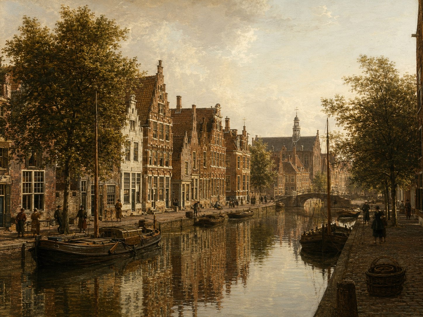
The Westdwarsgracht was a short side-canal running off the Oude Singel, the moat that once ran along Leiden's western town wall, close to the Rijnsburgerpoort. That gate, built in 1632 and demolished in 1867, carried traffic toward Haarlem and Rijnsburg. As its name suggests, the Westdwarsgracht cut crosswise (‘dwars’) from the main singel on the town's western side, at the edge of the old fortifications. Source: Museum Boijmans Van Beuningen
Open 1 archive record
Sale concering a new house on Oude Singel between Mare and Rijnsburgerpoort on the corner of the Westdwarsgracht
View the official record
WielmakerssteegstreetShow detailsHide details
1 record
Spellings in the recordsWielmakersstege
About this place
Wielmakerssteeg, meaning ‘Wheelwrights' Alley’, took its name from the wheelwrights' craft once associated with the street, at its junction with the Levendaal in Leiden's historic centre. Beyond its name and general location, no detailed independent history of the alley has been traced; surviving references to it are mainly incidental, found in property deeds and later local anecdote. Source: erfgoedleiden.nl
Open 1 archive record
Conveyance deed dated 23 March 1612 of a house and grounds on the north side of the Cathaline Veststege from Adriaen Adriaensz van der Haerbrugge, carpenter, to Henry Collet, wool comber and grocer.
View the official record
Witte PoortgateShow detailsHide details
1 record
Spellings in the recordsWitte Poort
About this place
The Witte Poort ('White Gate') stood on the Noordeinde in Leiden and began as the Nieuwe Haagpoort, a twin-towered gate built into the city wall after Leiden's southern boundary was pushed outward with a new moat in 1386. Around 1650 the gate was rebuilt and modernized, after which it became known as the Witte Poort, and it remained a prominent feature of the townscape until its demolition in 1865. Archaeological excavations on the site, most recently in 1985 and again in 2024, have uncovered the foundations of its towers and sections of the adjoining city wall — the 2024 dig, prompted by roadworks, turned up the northeastern tower's foundations at the corner of the Noordeinde and the Rembrandtstraat. Source: IDDS bv; Sleutelstad.nl; Wikipedia (Lijst van stadspoorten van Leiden)
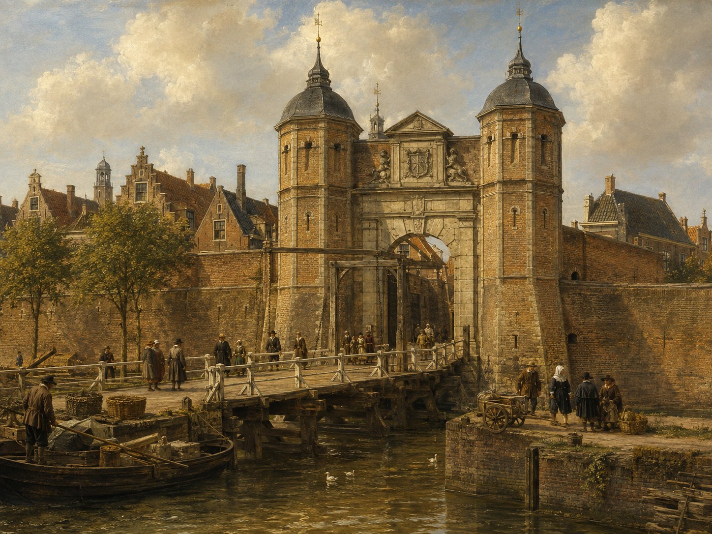
Open 1 archive record
Registration of the banns of Henry Parkins, widower of Maria Willemsdr, brewer's assistant from Yarmouth in England, and Margary Woodcock, spinster, from England, with John Keble and Thomas Nash, acquaintances of the groom, and Rose Jennings, acquaintance of the bride, and Anne Spooner as witnesses.
View the official record
ZijlpoortgateShow detailsHide details
2 records
Spellings in the recordsZijlpoort · Zijlpoorte · Sijlepoort · Seylepoort
About this place
The name Zijlpoort denotes the gate on the side of Leiden facing the river Zijl, and the site has a layered history spanning two distinct structures. The original, medieval Zijlpoort stood roughly 300 metres further into the city, at what is now the Havenplein near Haarlemmerstraat, from around 1355 until it was demolished in 1646; a temporary wooden gate held the new position until 1667, when the present stone Zijlpoort was built in classical style to a design by the Leiden architect Willem van der Helm. Unlike its medieval predecessor, this 1667 Zijlpoort still stands today and, together with the Morspoort, is among the few of Leiden's original city gates to survive the wave of demolitions of the nineteenth century. Source: Wikipedia (Zijlpoort (Leiden)); Wikipedia (Lijst van stadspoorten van Leiden); leideninside.com
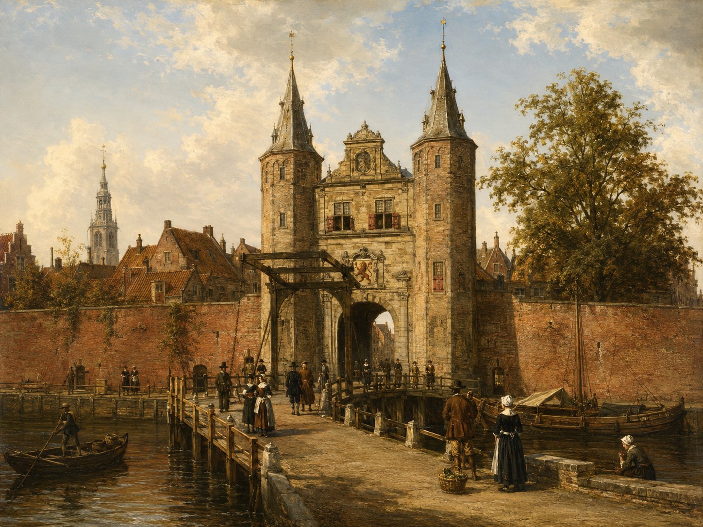
Open 2 archive records
Claes Claverly, tobacco-pipe maker, testifies about the arrest of two noblemen's sons by the bailiff of Valkenburg at an inn near the Zijlpoort, following a dispute over unpaid wine.
View the official recordRegistration of the banns of Edmund Williams White, flannel weaver from England, and Grietgen Boomen, with George Boson and Annetgen Borsaen as witnesses.
View the official record

Genealogical research in Dutch archives
Need help with your own Dutch family history?
Radicae offers genealogical research services for family historians working with Dutch records, including family tree research, archive research and translation of Dutch records. Personal tours in the Netherlands and one-on-one consultations on genealogy and DNA research are also available.
Get in touch